Today’s Date: May 29, 2024
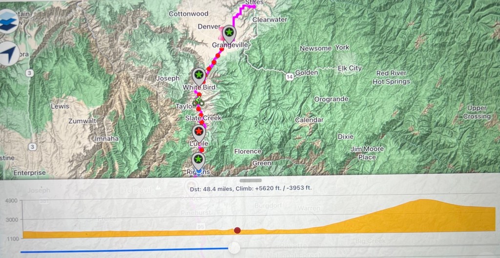
Today’s Start Point: Riggins, Idaho
Today’s End Point: Grangeville, Idaho
Today’s Miles: 50.95 Miles
Cumulative Miles: 849.74 Miles
When I woke up today I wasn’t sure how long today’s route would take. When I went to bed last night, the winds were howling from the north, the direction I was heading. Because of my uncertainty, I wanted to start the day early.
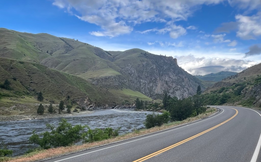
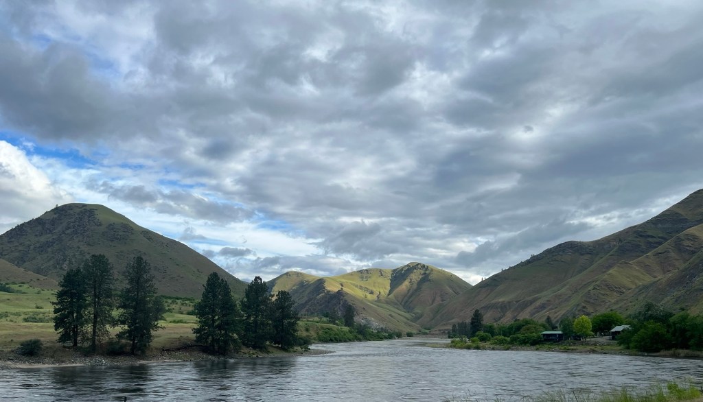
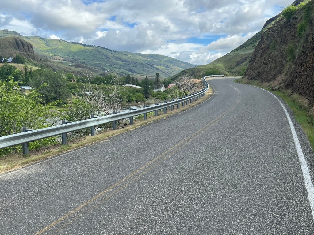
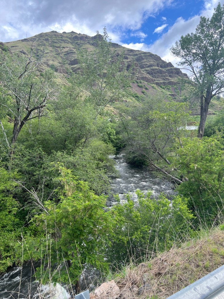
I was pleasantly surprised that the wind had died down and was negligible. I had everything packed up and headed north up along the Salmon River. Since I left so early, there was little traffic, plus the road had wider shoulders. I combination of these things made the first 29 miles extremely pleasant.
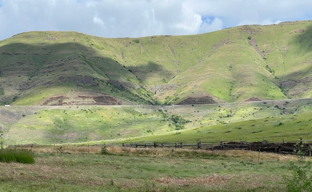
The road meandered alongside the river, neither rising or falling much. The sides of the river alternated between rocky outcroppings or green rounded hills. The morning light added to the tranquil feel of the ride.
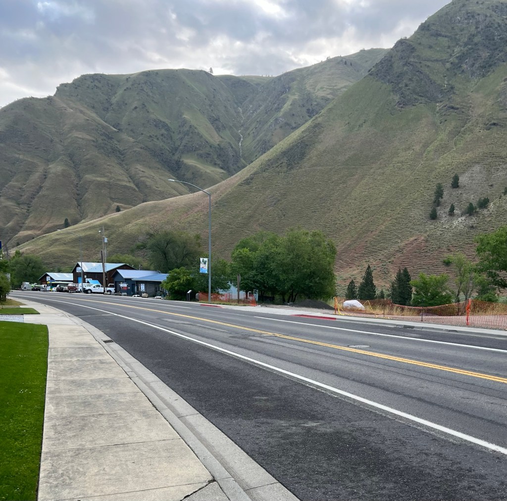
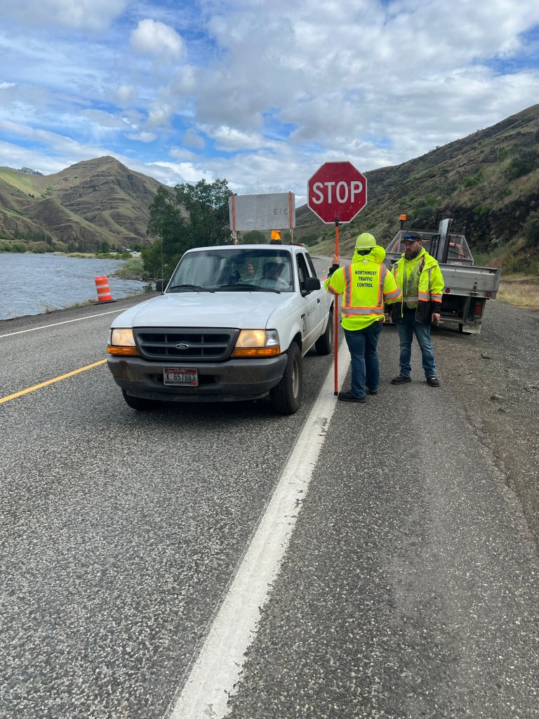
The winding road would follow the Salmon River for about 29 miles to the town of White Bird. Approximately three miles before White Bird, construction on the road had reduced the highway to one lane. The flagger (not sure if this is a word but this is what I am going with) informed me that as a single rider I could not go through the two mile construction zone, and that they would have to put my bike in a truck and drive it through. And that’s what we did. One of the construction crew dropped me off about one mile south of White Bird, I thanked him and headed off. If anyone cries foul and argues that I did not ride the whole route, oh well.
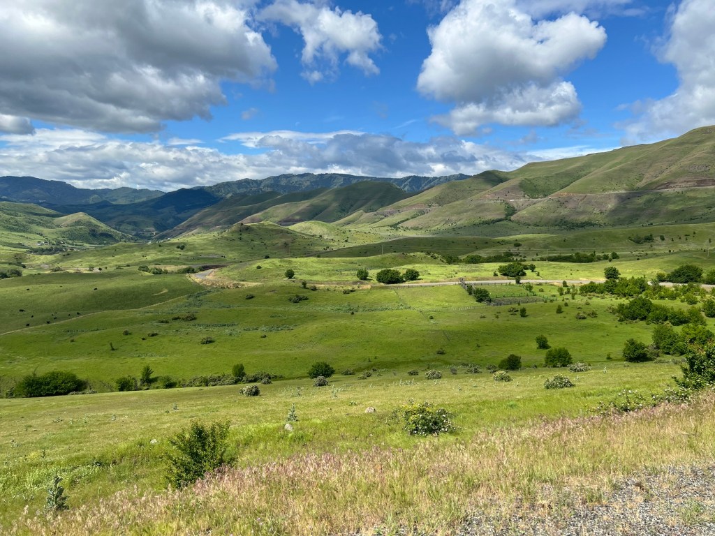
When I arrived at White Bird, the main highway forked to a newer, straighter climb out of the mountain (Highway 95) and the older, switchback filled climb (Old Highway 95). My instruction said to climb Old Highway 95, a 12 mile serpentine climb that went up 3,000 feet. When they built the newer Highway 95, all of the traffic went with it. I basically had the road to myself for the suffering.
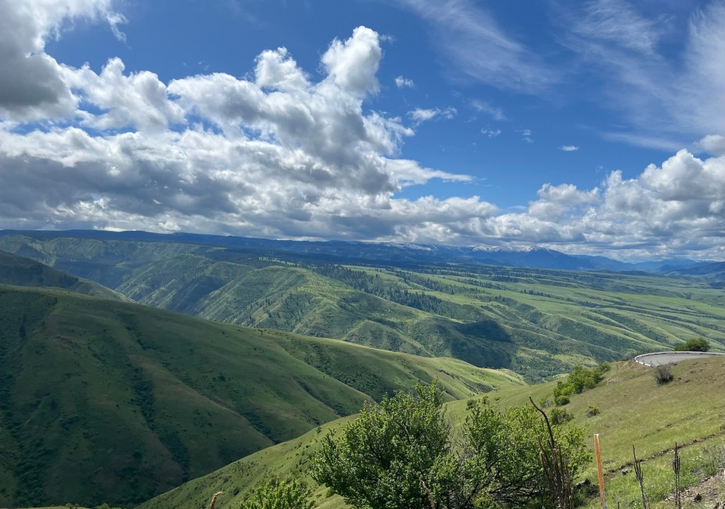
The benefit of switchbacks is they 1) soften the slope and 2) let you see what you just climbed. No doubt it was hard, but also beautiful. As I ascended, I could see the valley below me and the peaks in the distance. I took my time going up, taking a few breaks to catch my breath.
I finally saw the sign for the summit, what joy. My Garmin, however, instructed me to take a right and climb for another mile. I assume someone’s idea of a practical joke. The last mile and the descent afterwards was in the midst of a forest, as opposed to the prior pastoral climb.
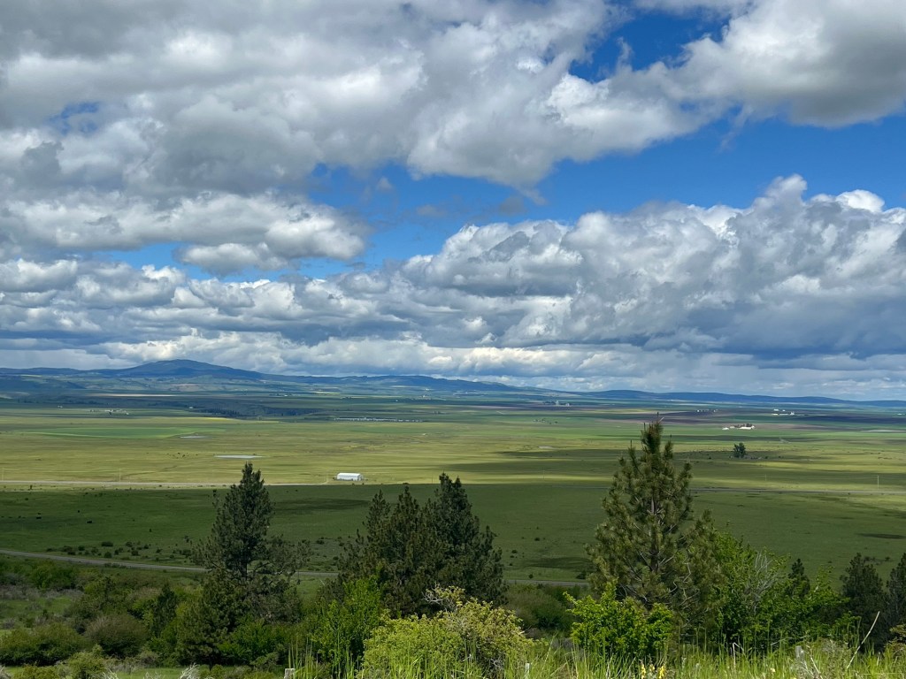
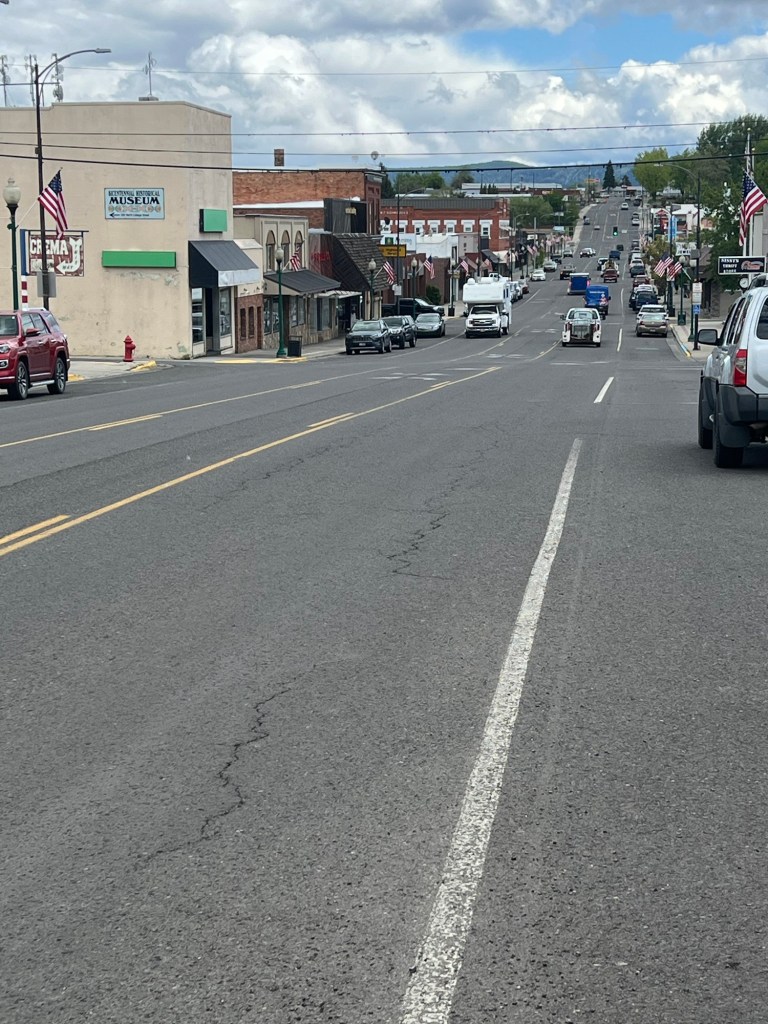
The descent was not steep, which was fortunate since it was chip seal blacktop and the gravel was fresh. The temperature felt as if it had dropped 20 degrees and my teeth were chattering. I slowly wound my way down to my destination for the night, Grangeville, Idaho.
I had booked a campsite at an RV resort. The resort had a clubhouse, laundry and full showers. After I checked into the office, I went into town (still in riding gear) and went to a diner for lunch. Because of my paranoia about the climb, I arrived much earlier than anticipated. I had my first hamburger in a couple of weeks (it was delicious), bought some supplies for dinner and went back to set up camp.
With the resort having a clubhouse, I could sit back in a big armchair and read and watch movies for the rest of the night. Another good day.


Leave a reply to James Ward Cancel reply