Date: May 21, 202
Today’s Start Point: Rainbow, Oregon
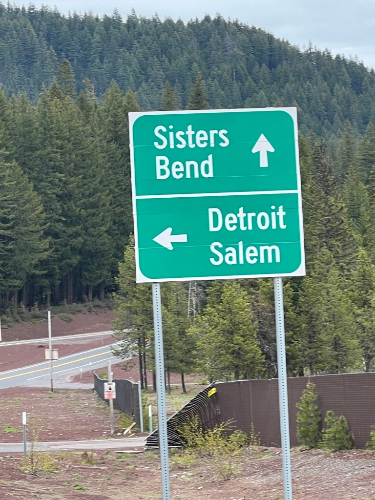
Today’s End Point: Sisters, Oregon
Today’s Miles: 56.13 Miles
Cumulative Miles: 338.79 Miles

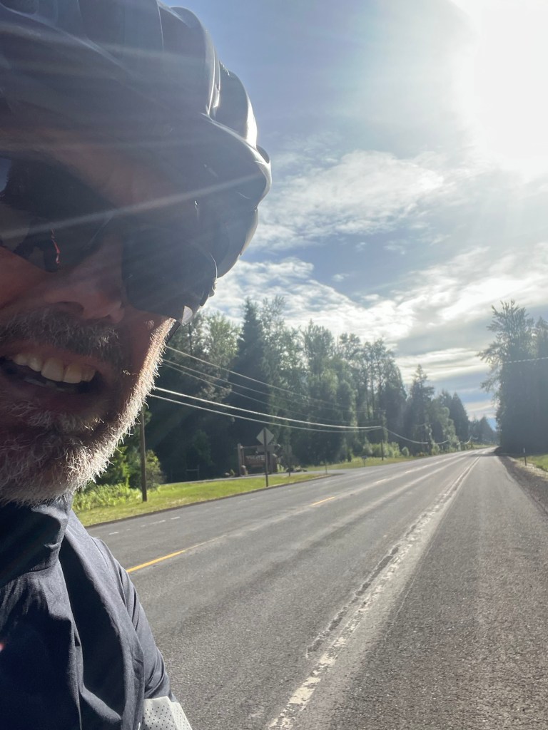
It was a different start to my day since I had a conference call in the morning, an abrupt change of pace. It went about an hour and a half and I was off.
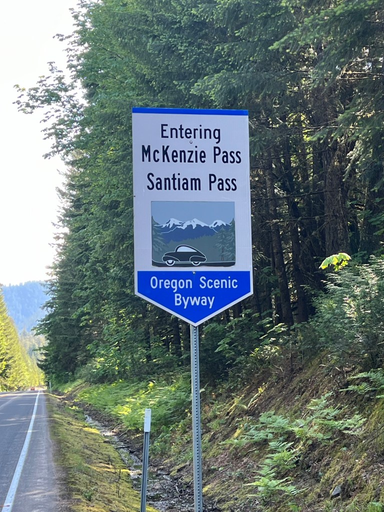
I have to admit I was a little (ok, a lot) frightened about today’s ride. As you can see from the profile, it was a long way up, my first sustained climb with this heavy bike. Today’s ride started in Rainbow, Oregon at 1,211 feet and would go up over the Santiam Pass at 4,816 feet. Like yesterday, these numbers are a little misleading since on this climb I would gain some altitude and then have a short descent and then climb again. Descents might sound nice, but it is hard to give up the elevation if you just have to earn it back. Total climbing on the day was 4,432 feet.
As I said yesterday, it was mostly on Federal lands so there would be no place to buy food or get water, so I packed up a sandwich and extra water in my back pocket.
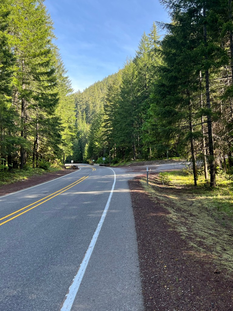
The first 15 miles were very easy-little traffic, smooth roads, nice scenery, gentle incline and blue skies. At this point I wondered what I had worried about. Maybe the last few days had magically made my legs much stronger.
That’s the trouble with reality, it wakes you from all of your wonderful self-delusions. At about the 15 mile mark, I came across a succession of three steeper and longer climbs, the last of the three over 10 miles long with an average gradient of 4-5 %. As I said before, I would feel great cresting the climb on the way to the Pass, only to give some of the hard fought gains back, just to be attacked again.
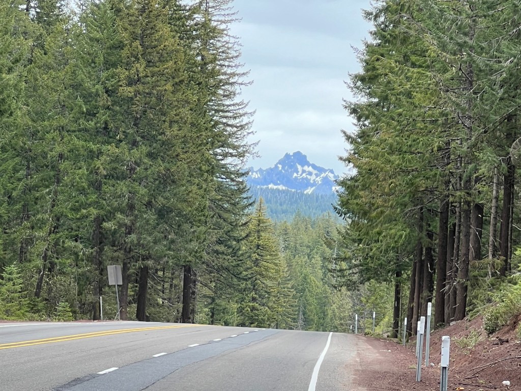
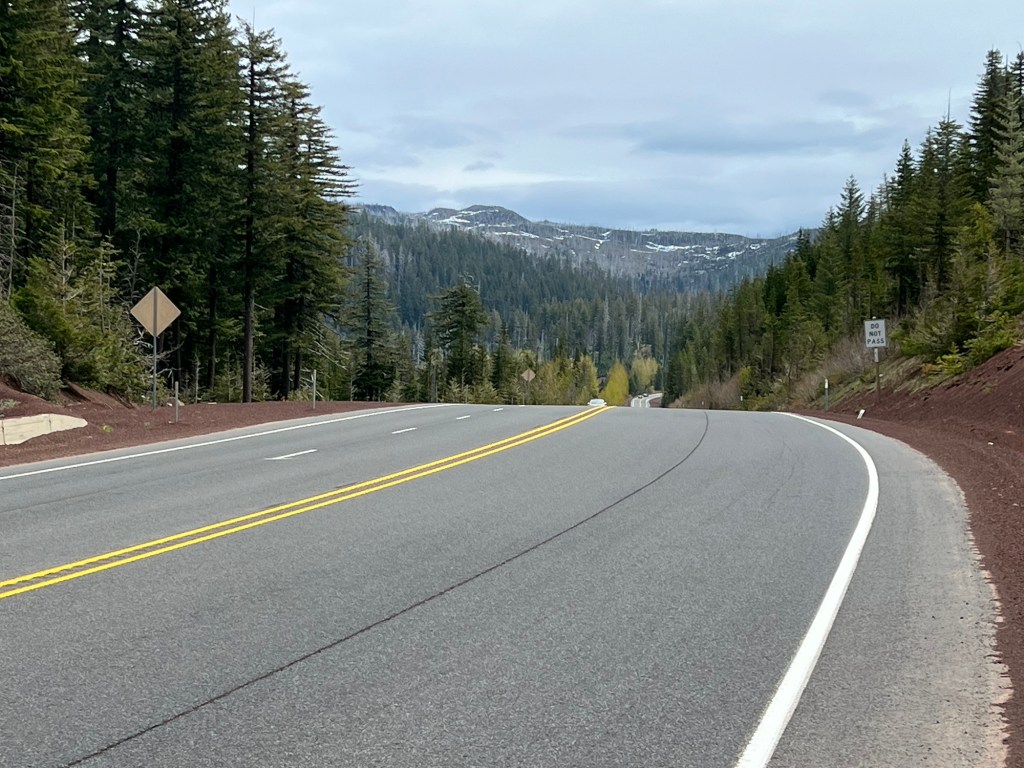
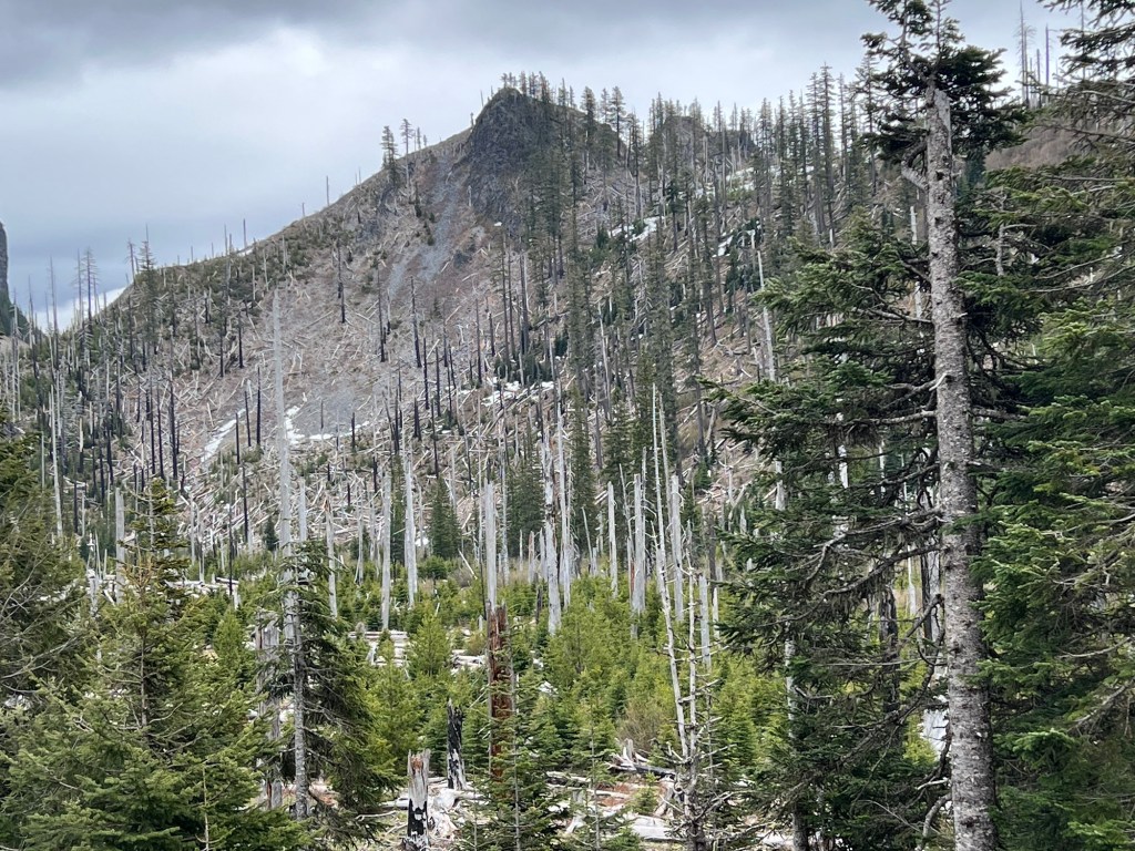
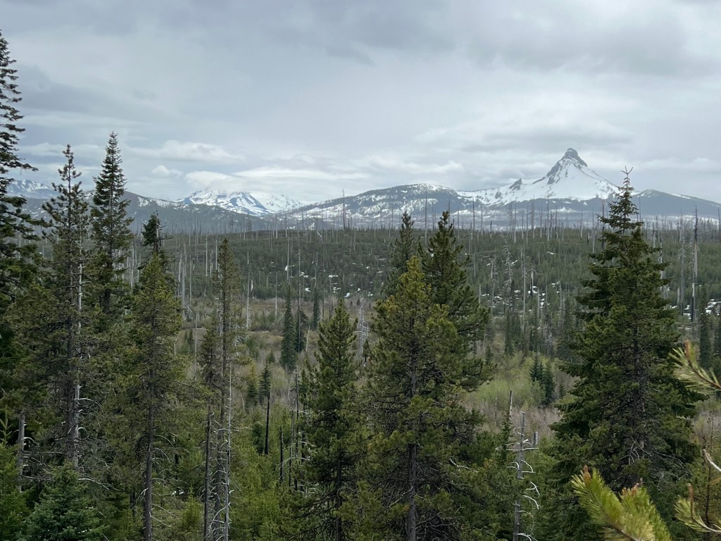
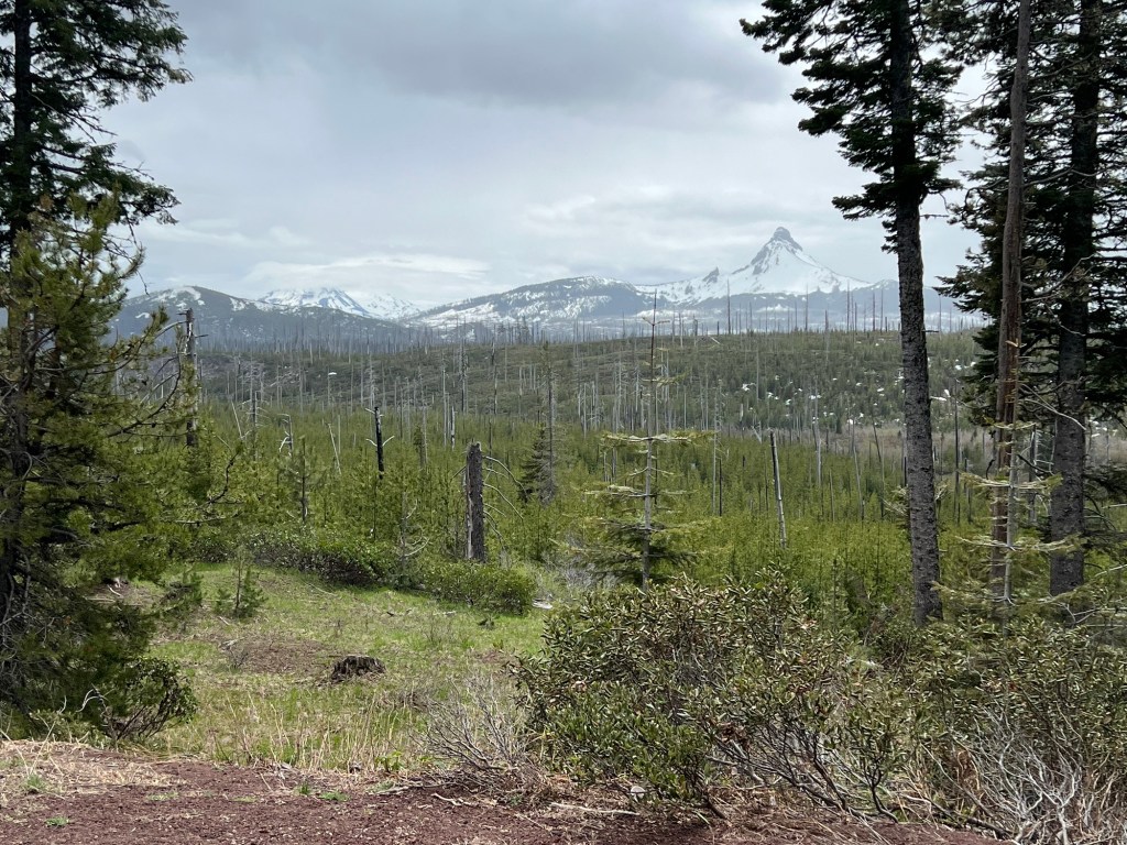
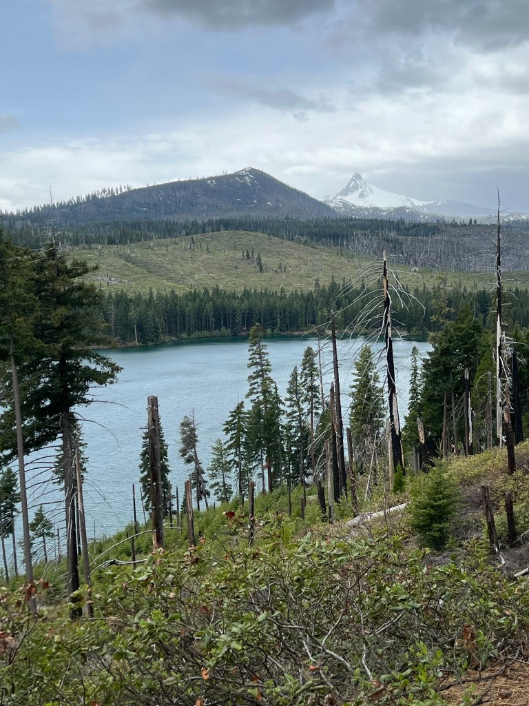
Throughout the first 25 to 30 miles, I was in the midst of huge trees that make up the Willamette National Forest, very primeval stuff. I knew that Mt Washington was to my right, but the trees blocked the view. It was still spectacular. Mt Washington would come into better view on the descent.
As I climbed, I started overheating so I peeled off my arm warmers and base layer gloves. No matter the temperature outside, when you are climbing your core body temperature goes through the roof.
As I went higher, snow was on the peaks around me and eventually I was above the snow line. Still climbing, still not cold.
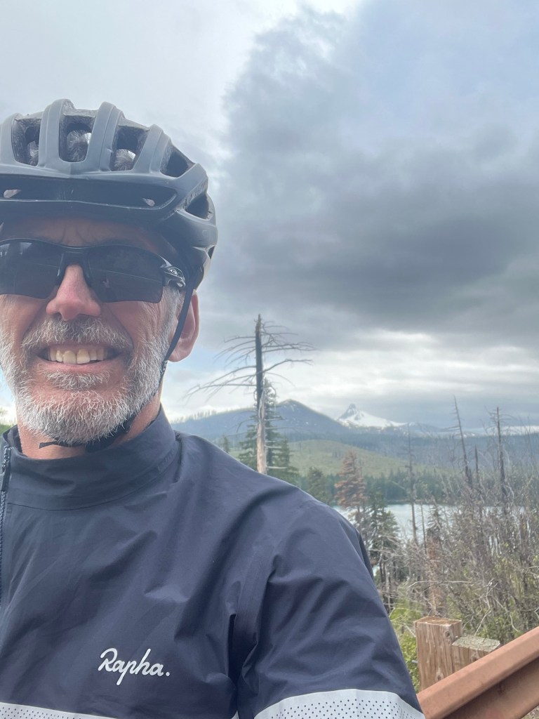
Once I climbed to the top of Santiam Pass, I was hoping to find a sign marking the summit and the altitude for a well-earned selfie. No such luck, so you will have to believe me when I say I summited.
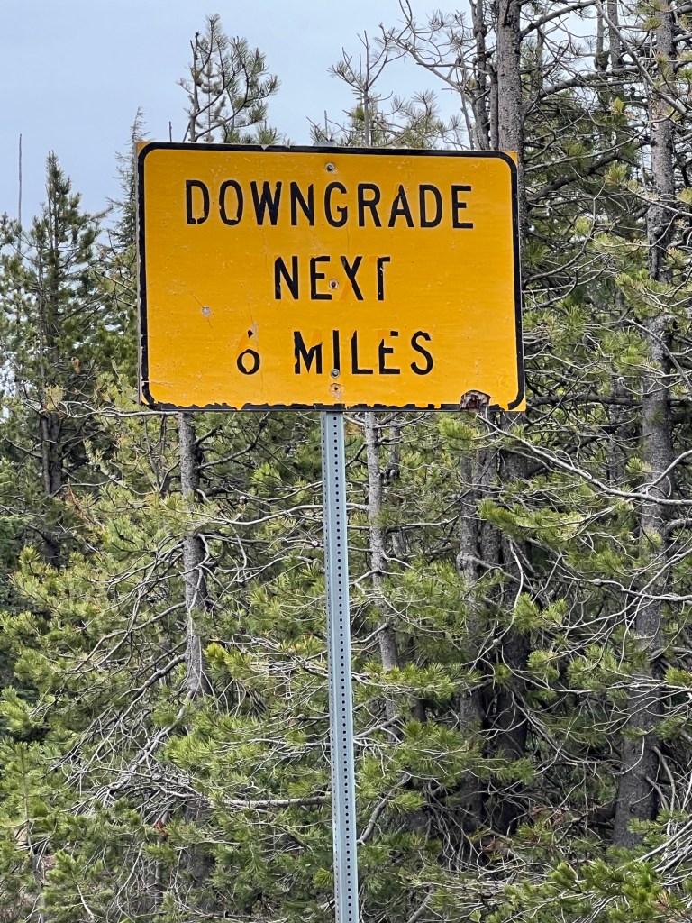
I saw a sign stating that the descent would be steep and only about 6 miles, so in all my wisdom I decided not to put any layers back on. At this point it was slightly raining so I would not describe the weather as balmy.
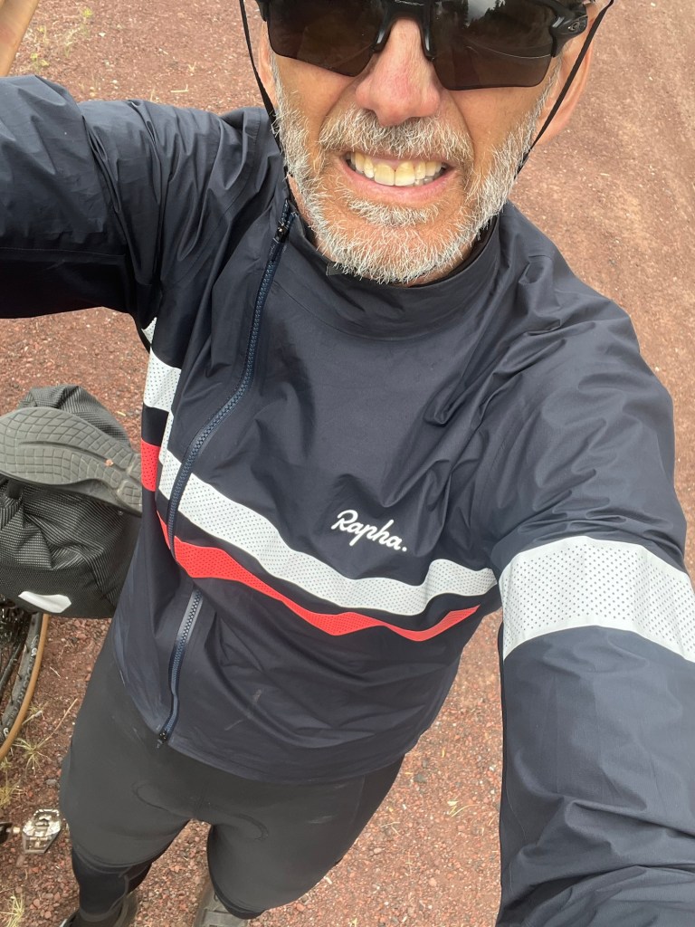
After about a mile of dropping fast down the other side of the Pass, I had a serious discussion with myself and stopped, hands freezing and teeth chattering. I went to the side of the road and put on leg warmers, my base layer gloves and the arm warmers. I was still cold, but I could at least steer the bike.
As I warmed up, I was greeted with some magnificent views of Mt Washington. Even though the clouds were rolling in, the view was majestic. I wanted to take more pictures than I did, but I was still a bit cold and it looked like heavier rain was coming.
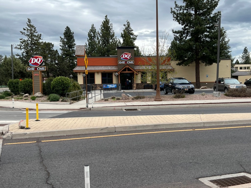
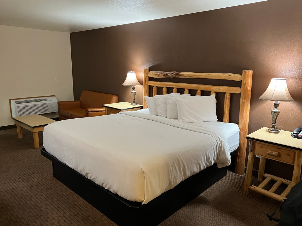
The total descent ended up being about 18 miles and I was glad to check into the hotel and get a hot shower. As I saw my hotel, I noticed that across the street was a DQ, I think I might have cried a little. Beside that the hotel’s location is next to a grocery store (a REAL grocery store, not a convenience mart) and the DQ, the hotel is nice with surprising large rooms (they are accustomed to cyclists).
A challenging day, but the results gave me hope for more climbing ahead (don’t worry, reality will deal with this delusion as well).


Leave a reply to alyssalwilliams Cancel reply