Today’s Date: July 26, 2024
Today’s Start Point: Ohiophyle, Pennsylvania
Today’s End Point: Cumberland, Maryland
Today’s Miles: 72.74 Miles
Cumulative Miles: 4,162.62 Miles
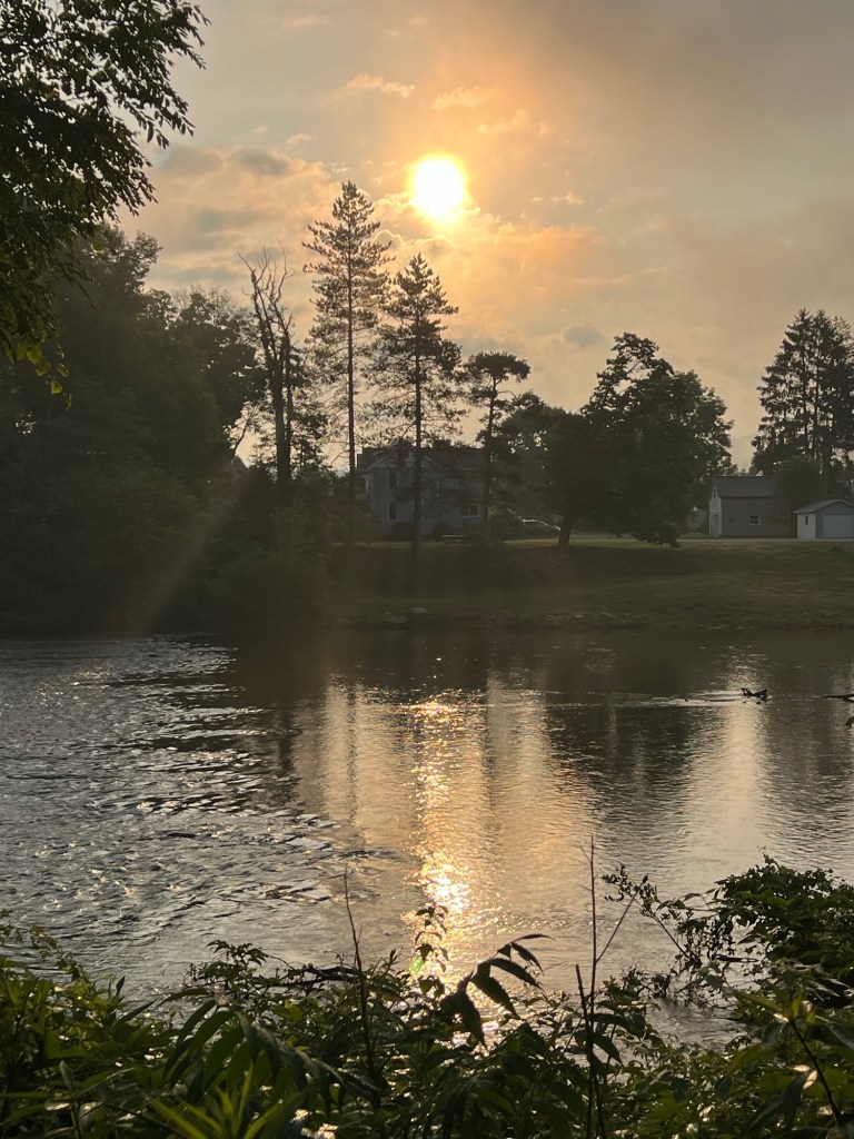
Today was another great day on the Greater Appalachian Passage (GAP). When I woke up the weather was perfect-60 degrees with little humidity. I was actually a little chilly, who would have believed that a week ago.
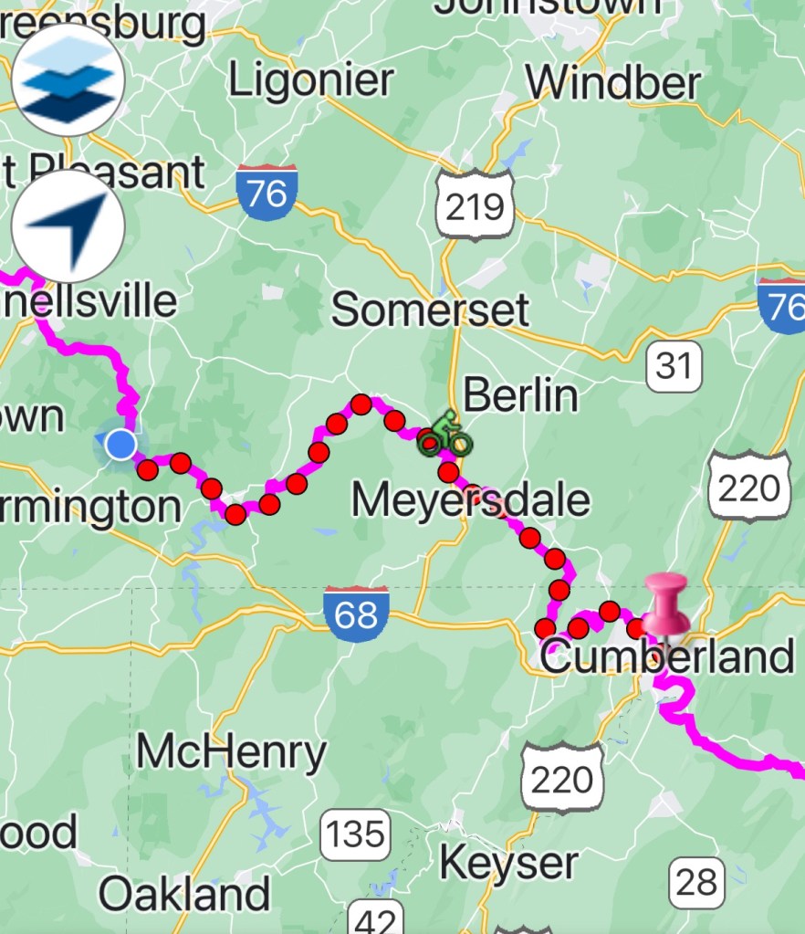
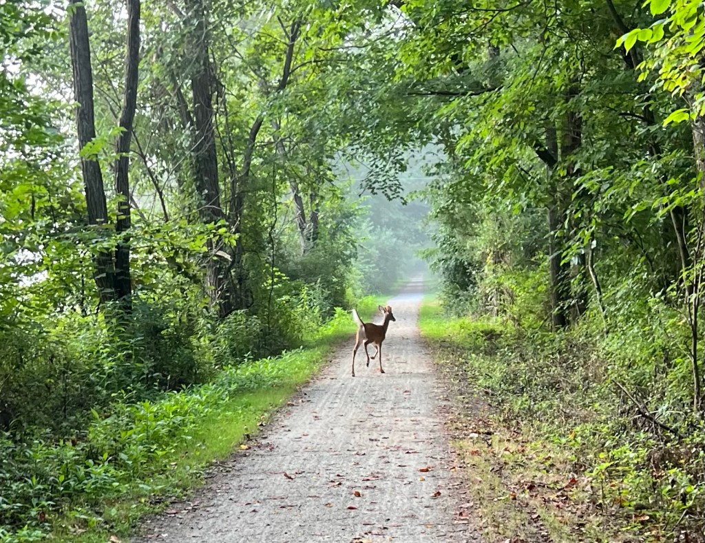
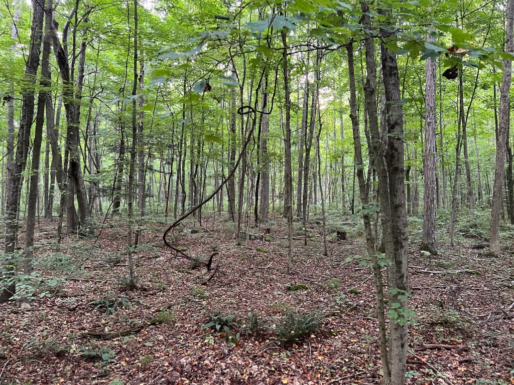
I left at dawn and was immediately on the GAP. Over the first 40 miles, I believe I saw two other cyclists, so it was me and the woodland creatures.
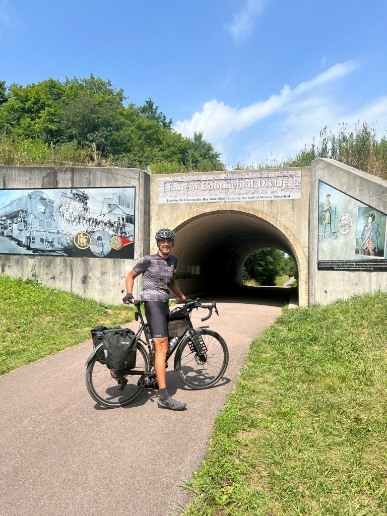
The route would gradually climb, and I mean gradually, to the Eastern Continental Divide. I have to admit that as wise and learned that I think in all false modesty that I am, I was not familiar with the Eastern Continental Divide. When I was out west I think I crossed the Western Continental Divide about eight times so it is nice to complete the set. According to Google, water including rainfall and snowfall, lakes, streams and rivers on the eastern/southern side of the Eastern Continental Divide drains to the Atlantic Ocean; water on the western/northern side of the Eastern Continental Divide drains to the Gulf of Mexico. The Divide where I will cross it sits at about 3,000 feet above sea level.
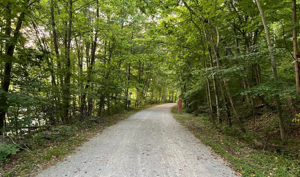
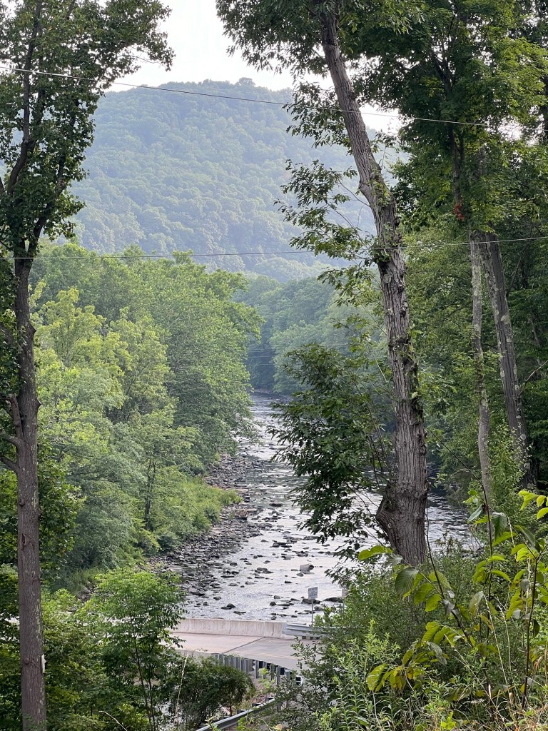
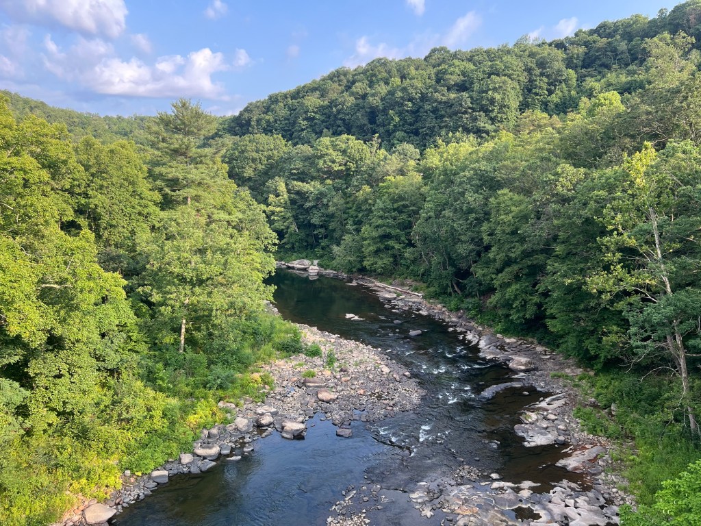
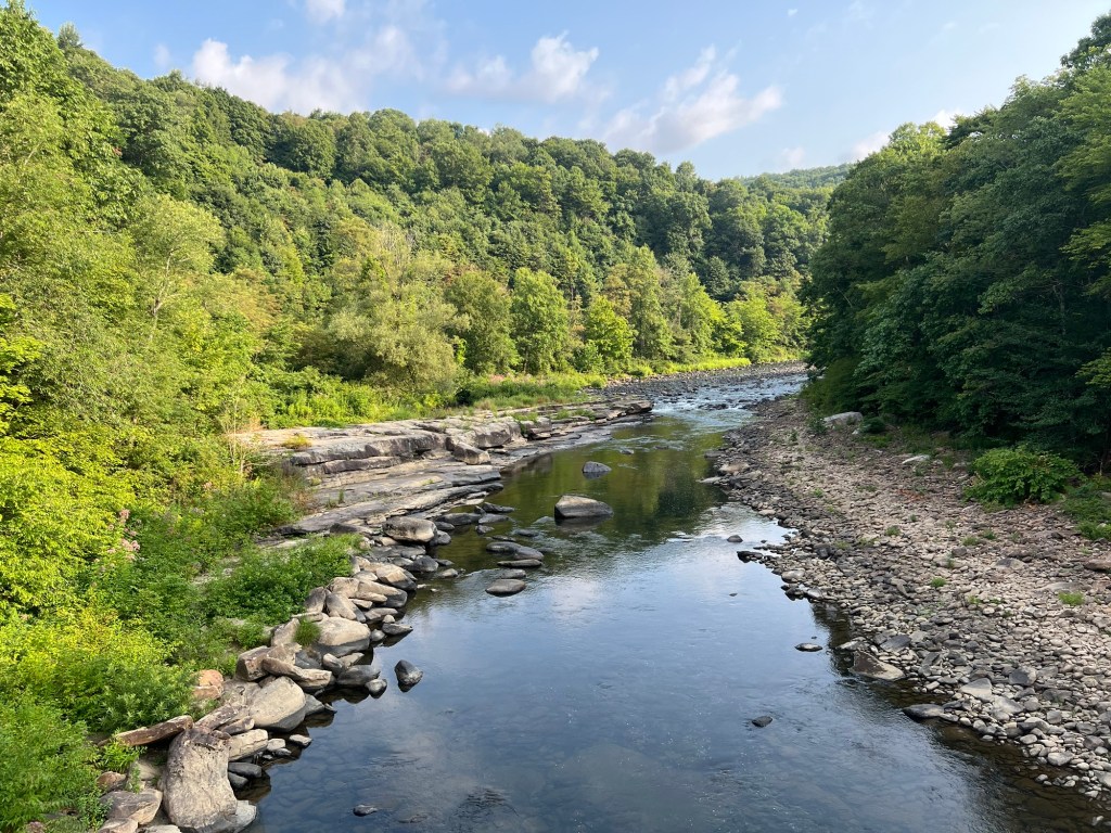
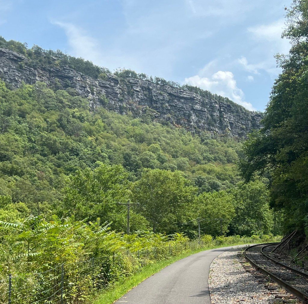
The trail followed the Youghiogheny River, and the sound of the river would change as the river narrowed and the sounds of rapids could be heard to when the river would broaden and everything would be still.
I was keeping with my plan by stopping every 15 miles for a bagel and peanut butter break. At the town of Rockwood, Pennsylvania, there was a small hut on the trail manned by an elderly female volunteer. She told me that their are hundreds of volunteers. The trail is groomed four times a week and sections of the trail have new limestone laid down every year. As I learned later, the area was hit hard with factories in the area shutting down and the towns along the route are trying to take advantage of the natural beauty to build an outdoor recreation economy.
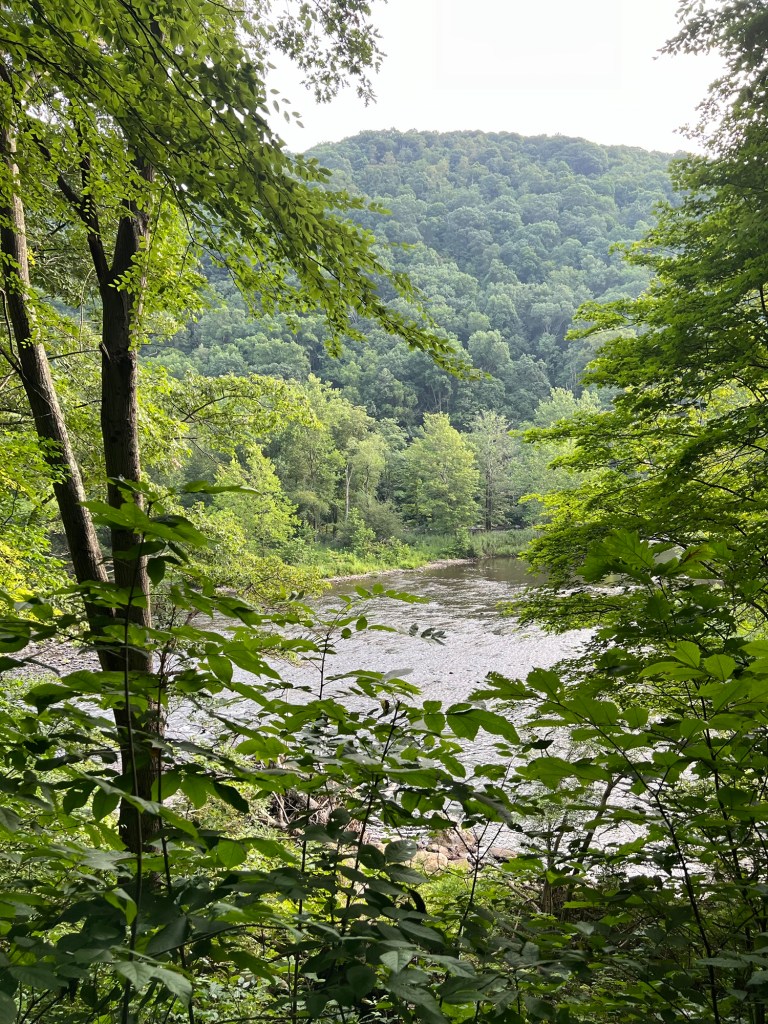
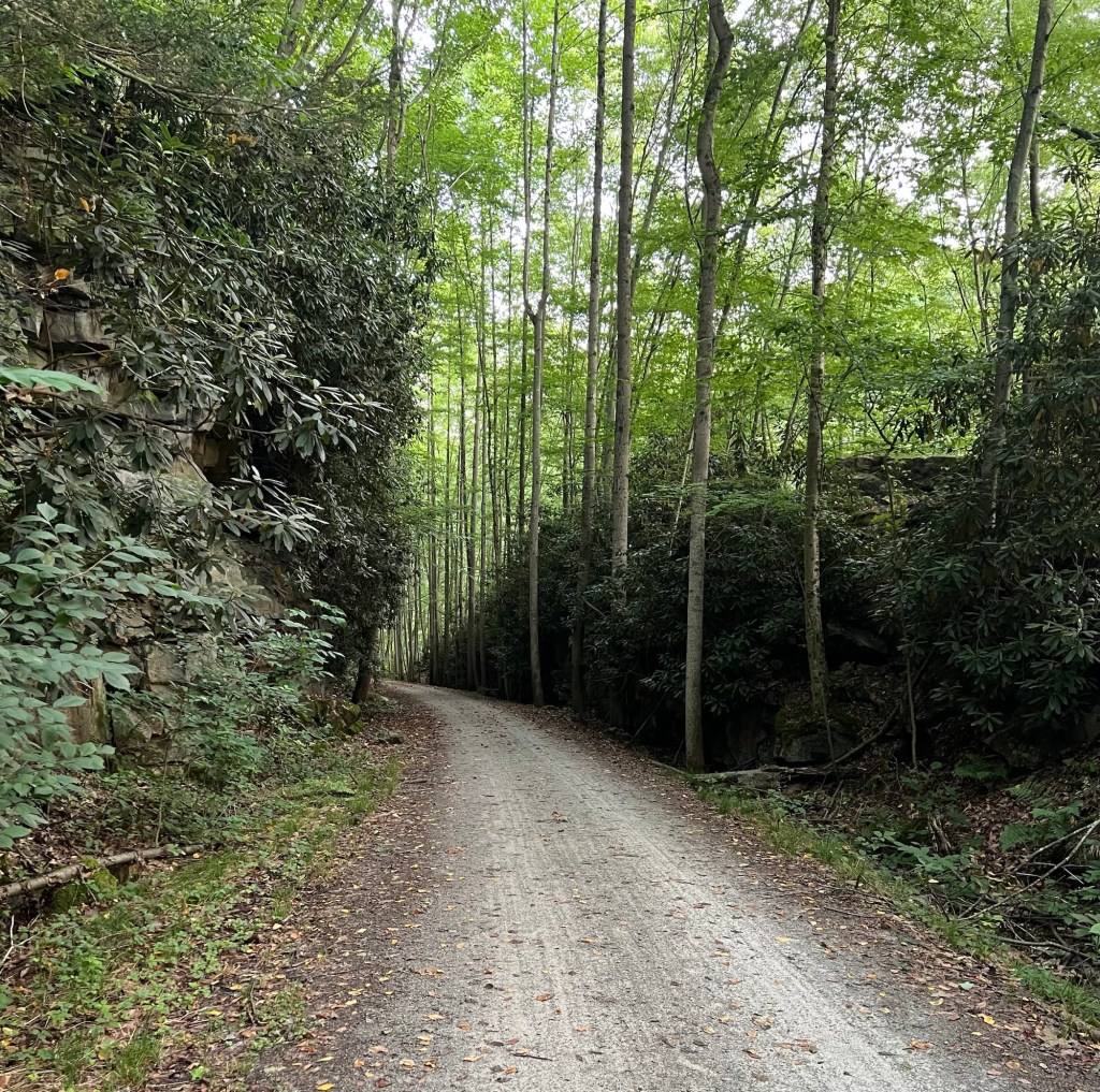
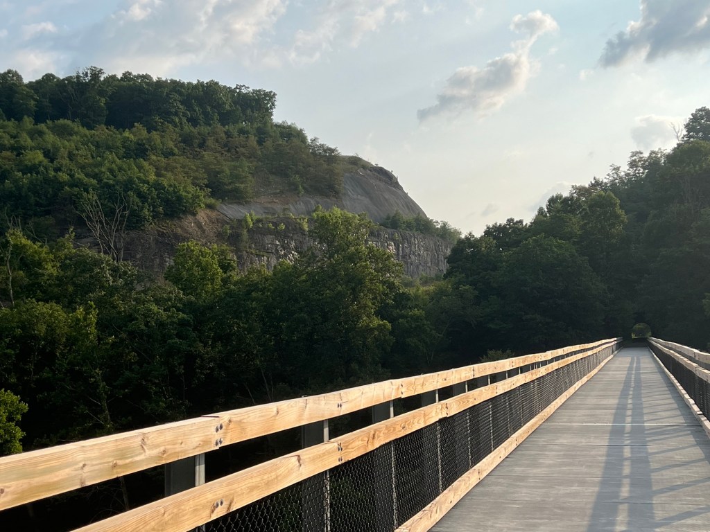
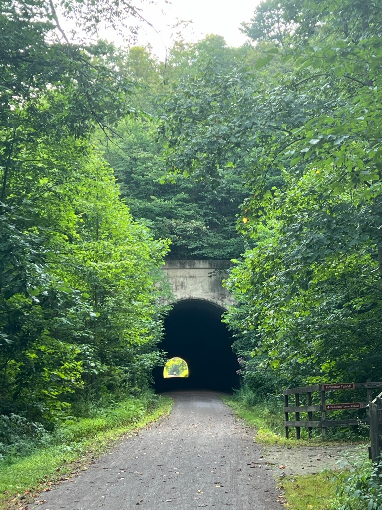
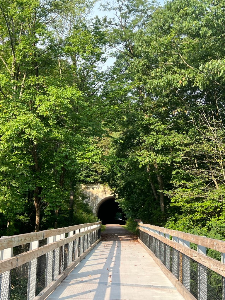
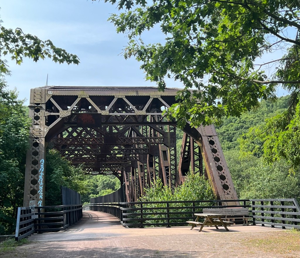
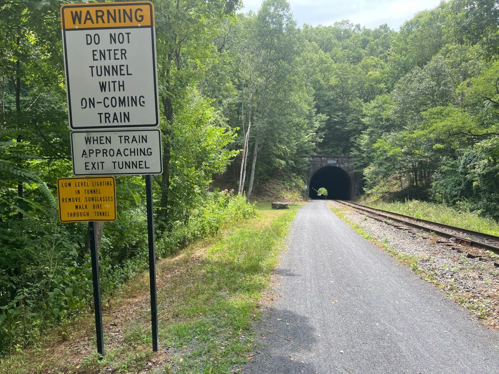
As today’s title suggests, the route was filled with multiple bridges and tunnels. I was thankful every time I went over or through them since their existence allows the trail to be flat. As with yesterday, when the trail crossed a road, the roads went either straight up or down.
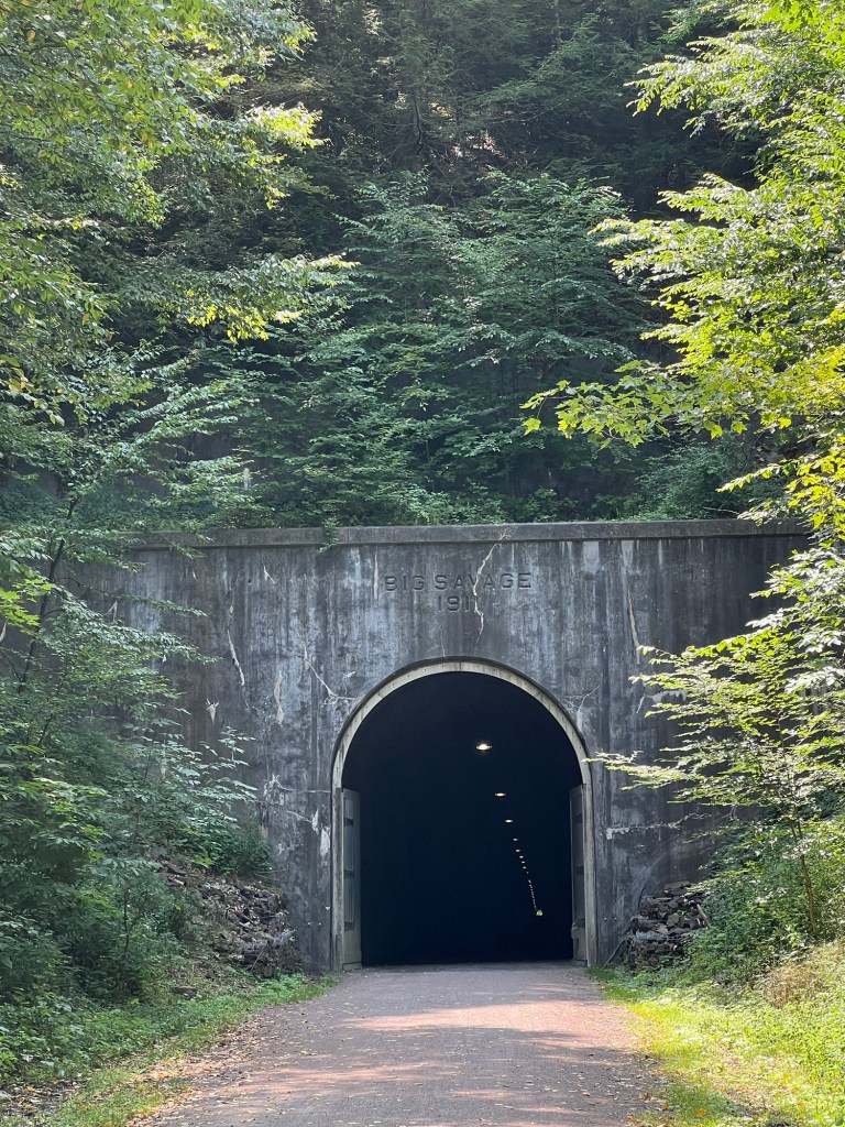
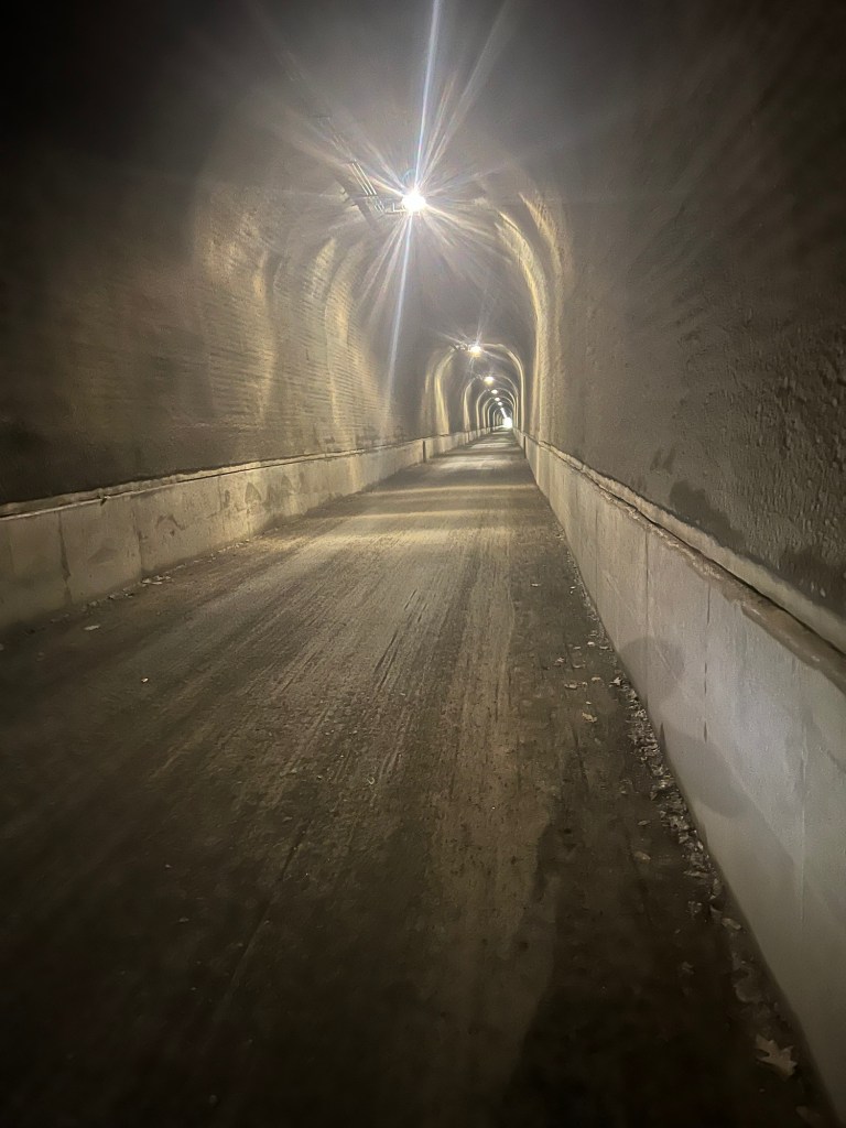
At about the 50 mile mark, I arrived at the Eastern Continental Divide. The climb was so gradual it was hard to beleive that I was at 3,000 feet. Once I stopped for some pictures, it was time to cruise down a 25 mile descent. I am glad I came at the divide from the west because the eastern side was steeper, allowing me to either pedal or not. The trail was filled with more bridges and tunnels, including the Big Savage Tunnel, which is 3,300 feet long. It was so long I needed to turn on my headlight to make sure I could get through. It was great fun.
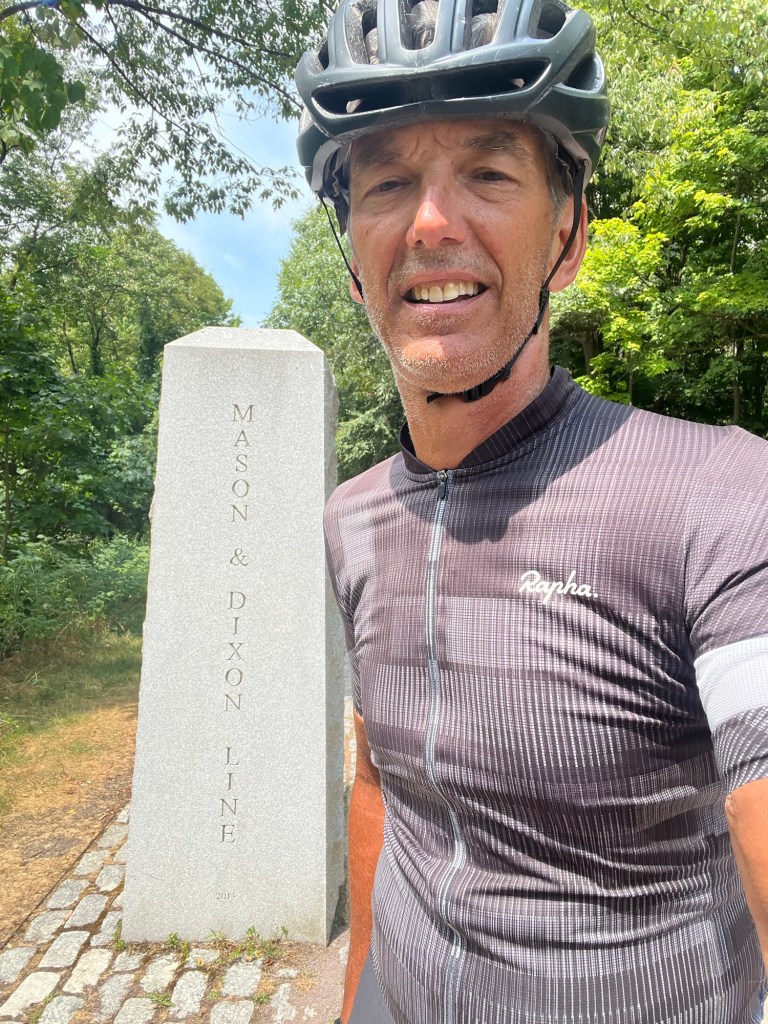
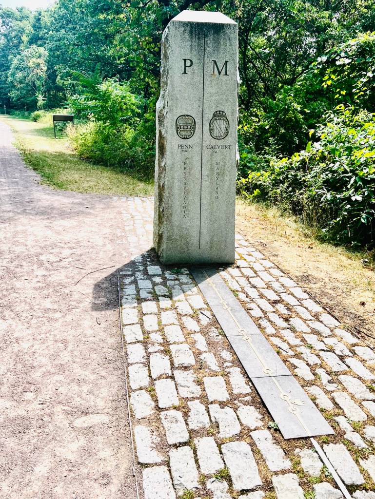
Now it was on to Maryland and the Mason Dixon Line, which came up two miles after the tunnel. From Google: The Mason-Dixon Line, originally the boundary between Maryland and Pennsylvania in the United States. In the pre-Civil War period it was regarded, together with the Ohio River, as the dividing line between slave states south of it and free-soil states north of it. They have a marker at the line with marble benches and a brass line indicating the line as it crosses the trail.
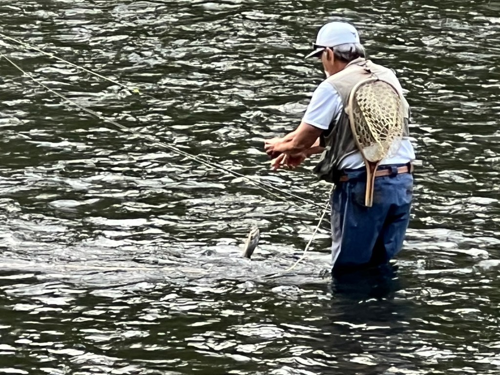
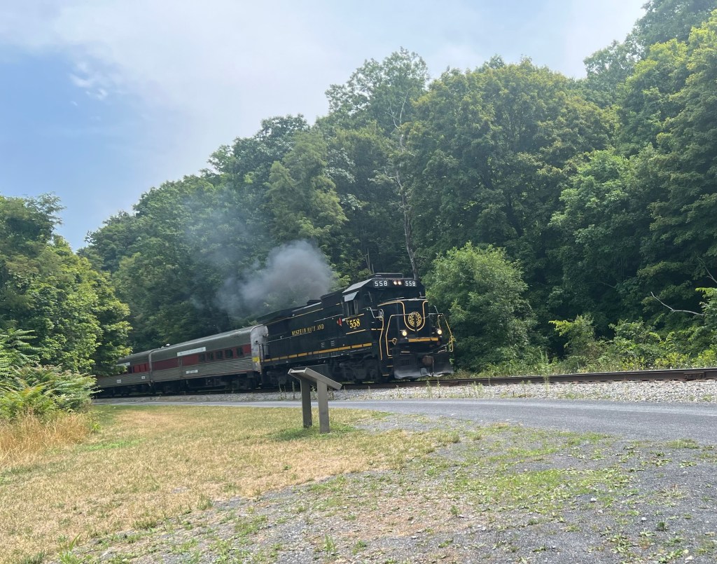
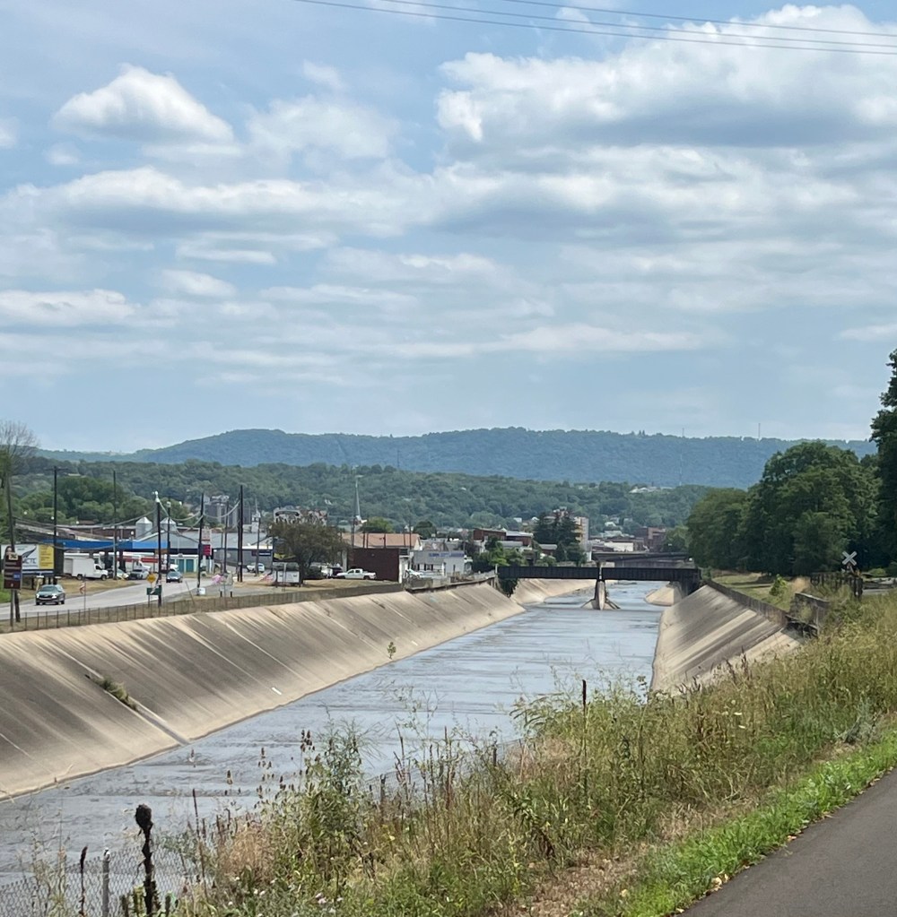
I continued to descend until the trail started to run alongside the tracks of the Western Maryland Scenic Railroad. It usually uses a steam locomotive (currently under repair) pulling old passenger cars up the mountain for the 15 mile trip from Cumberland, Maryland to Frostberg, Maryland. They even serve special dinners for the trip. I was lucky enough to see the train pass by when I had stopped for a bagel break.
These last 25 miles were easy on the legs and stunning for the eyes. The best way to describe it is that it was a relaxing and enjoyable experience.
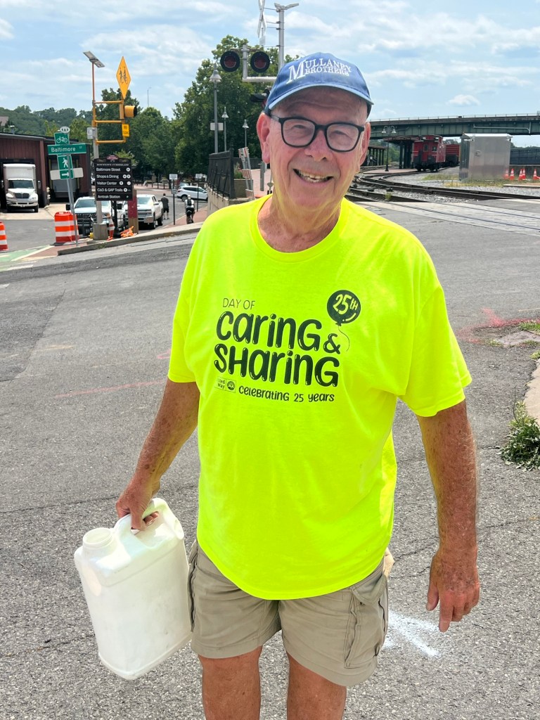
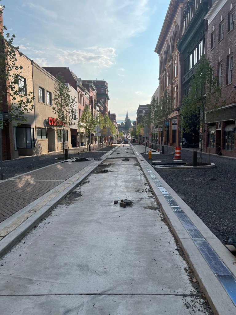
The trail took me into my final destination in Cumberland, Maryland. The GAP ends in Cumberland. Fortunately, as I was pulling off the trail to find my hotel, I met Ed. Ed was a volunteer who was watering the flowers along the trail. He was a retired teacher from Bethesda, Maryland who returned to his home town and served as downtown Cumberland manager for a time. He told me of the city’s efforts to rebuild, capitalizing on its location as the terminus of the GAP and the C&O Canal Bike Trail. He said that since COVID and the advent of young people working wherever they wanted, many were electing to relocate to Cumberland to take advantage of the outdoors. He stated that for the first time in years the population in the city has increased.
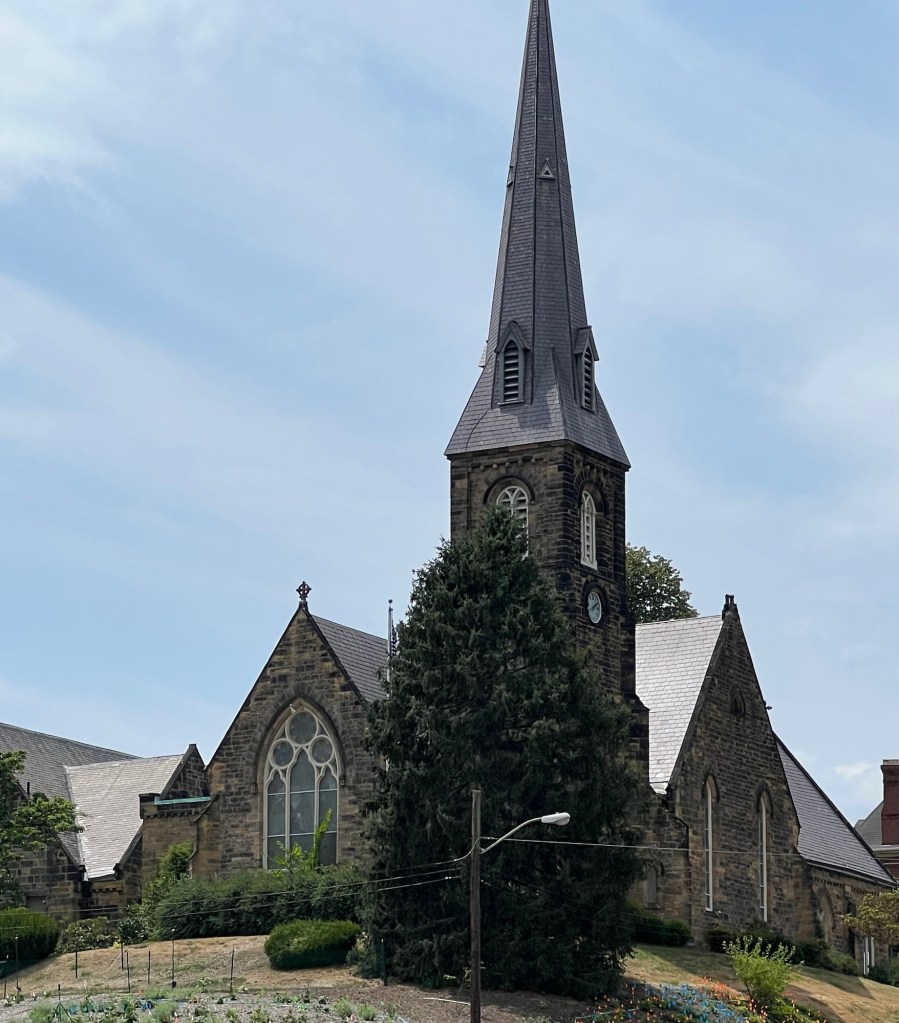
He also pointed to an Episcopal Church on a hill. He told me that where on the site where that church sits was a British fort used during the French and Indian Wars. When the original commander of the fort became incapacitated, the British sent a young officer to the fort for his first command. The officer was George Washington.
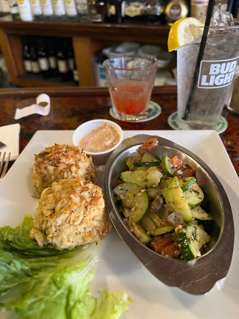
We talked for some time, for even though I was at the end of my ride, Ed was full of stories about the area. He gave me better directions to my hotel and recommended a restaurant that served crab cakes. He was a delightful man and his teaching background shone through.
I checked into the hotel and went to Ed’s recommended restaurant. The crab cakes were delicious (as well as the bread pudding) and I am gearing up for a couple of long days.
The cycle paths that I have taken so far have been old railroad lines that have been converted for bicycle use. The path I will take over the next three days to Washington DC is the C&O Canal Bike Trail. The C&O Canal Bike Trail is the tow path used by the horses that pulled the boats down the canal. My understanding that the surface is rougher so it might take me a little longer. Oh well, just something new to try.


Leave a comment