Today’s Date: July 24, 2024
Today’s Start Point: Wheeling, West Virginia
Today’s End Point: Pittsburgh, Pennsylvania
Today’s Miles: 66.67 Miles
Cumulative Miles: 4,011.87 Miles

Today’s route could be broken down into four sections: riverfront bike trail (13 miles), country hills (11 miles), country bike trail (25 miles), and urban hills and traffic (12 miles). The bike trails were fun and relaxing, the hills and traffic, not so much.
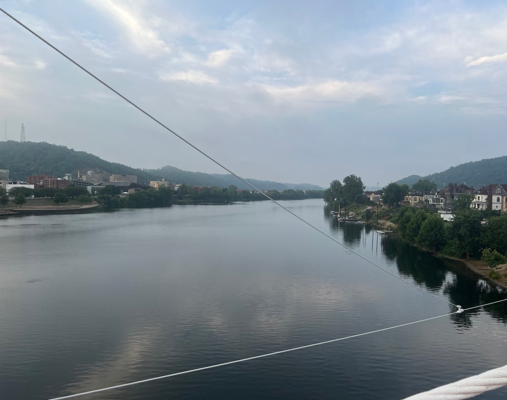
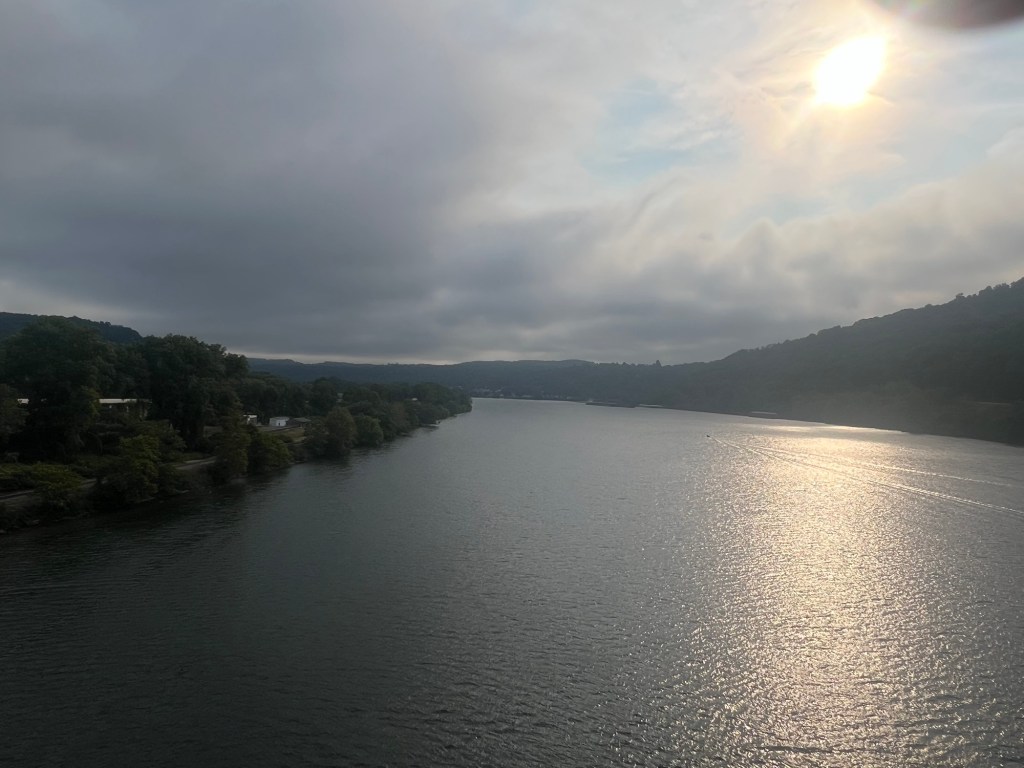
I left a little later today at 7:00 am. Nothing wakes you up like the sensory overload of a casino. It was cloudy out, not too hot, but a little humid. I had to walk my bike across the bridge connecting Wheeling Island and Wheeling proper due to wide grates. The bridge was an old stone bridge which is under repair. It is nice that they are saving it since it has a classic old look. From the bridge, I had a nice early morning view of the Ohio River.
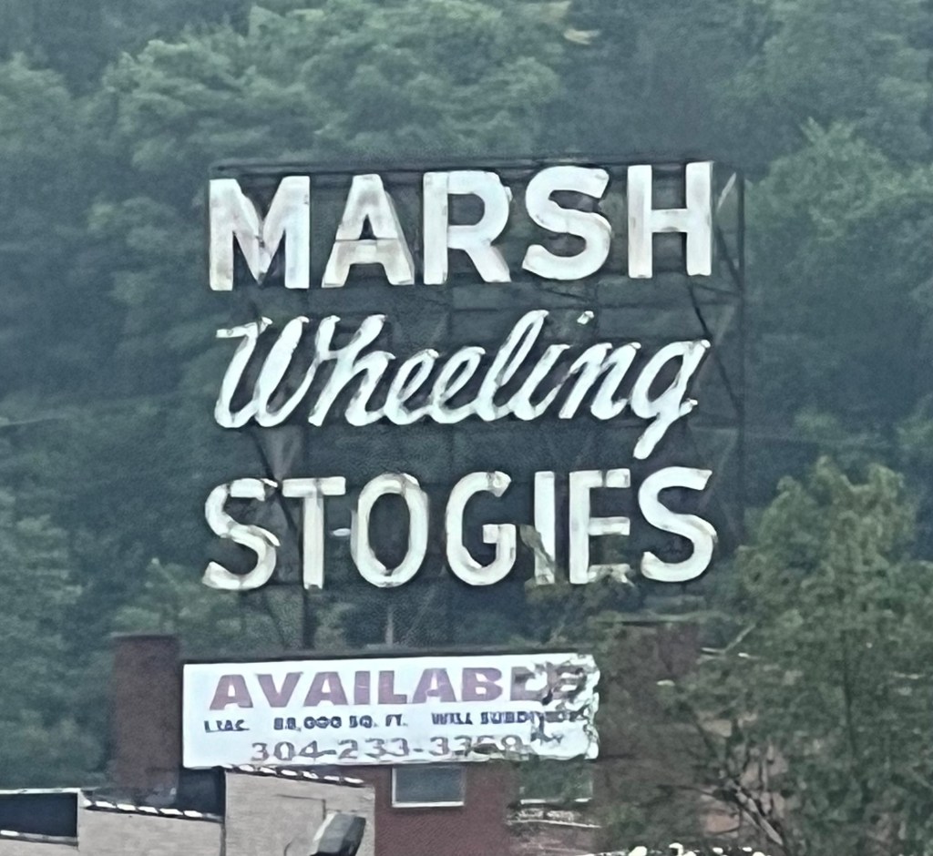
Once off the island, I quickly entered the Heritage Trail, a paved bike path that sits beside the Ohio River and which I would follow for the next 13 miles. It was a nice trail for the first ten miles, tree lined for the most part although occasionally interrupted by industrial uses.
Yesterday I had to make a detour because of road construction. Today I had to detour because of cycle path construction. The bike path sits about 100 feet below a highway which runs parallel to the path. One of the construction guys said that I could take a ramp that was a little way back, cross the four lane highway, and then continue on the highway until I could rejoin the path about a mile down the road. I thanked him and headed for the ramp.
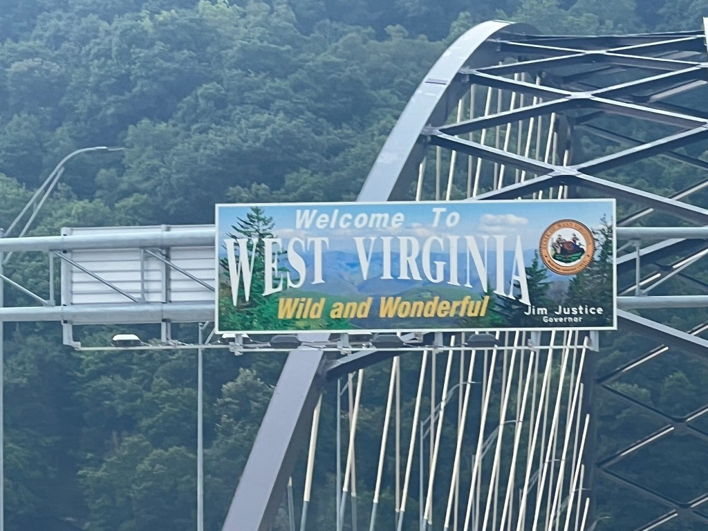
The problem with the proposed plan was that when I got to the top of the ramp, the path at the top had concrete barricades preventing me from crossing the highway. My only option was to backtrack along this barricaded route, which would take me across a bridge back into Ohio. Once in Ohio I had to pull a u-turn, go back into West Virginia, cross the highway, and head north to the bike trail. I think I was in Ohio for at most five minutes.
I returned to the Heritage Trail and continued on. The Ohio River is a working river, so there is a great deal of commerce on it. The river sits in a narrow valley with hills rising near the waters edge. Now I has a better idea of what I was climbing over yesterday and realized I was going to have to do the same thing today when leaving the river.
After 13 miles, I left the trail and followed crowded roads for a short while and then started the climb out of the Ohio Valley. There were two climbs of about a mile each with an eight percent pitch. Luckily they occurred early in the day when temperatures were low and my legs were fresh.
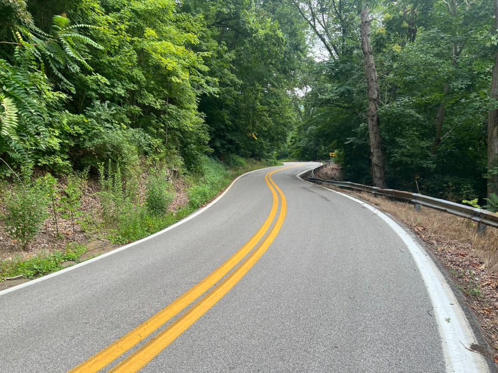
The climb was actually pretty, very lush and green. Trees hung over the road, which unfortunately did not have a shoulder but traffic was light. I am not the best climber and have trouble holding a straight line when the gradient is too great, so passing cars can make me a little nervous.
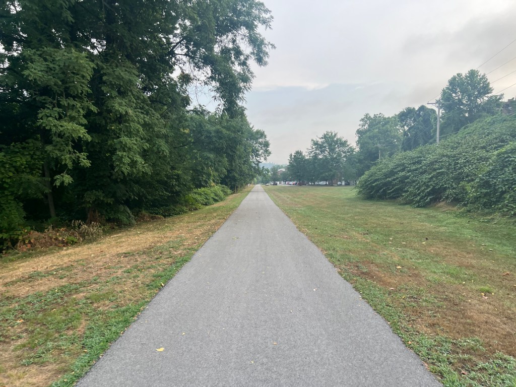
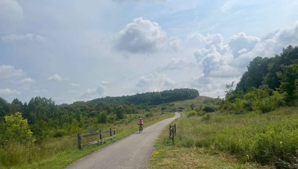
Once at the top of the ridge, the road continued to roll up and down. After about 11 miles, the road descended to the Panhandle Trail.
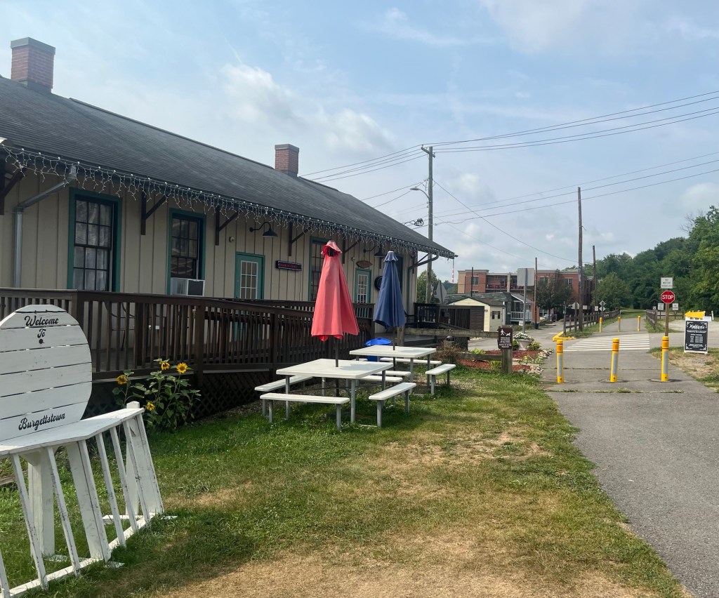
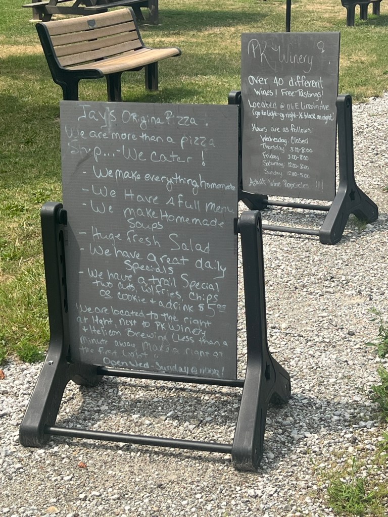
This trail was truly a wonder. Much of the trail was covered by a canopy of trees, blocking out the sun. Most of it was paved, but the last few miles were crushed limestone, much like the Prairie Path back home. There were restroom facilities and restaurants and bars that catered to cyclists along the trail.
Numerous people were on the path. I spoke to two gentlemen that were familiar with all of the paths in the area and provided some good intel on some of the trails I would be riding later in the week (more about that later).
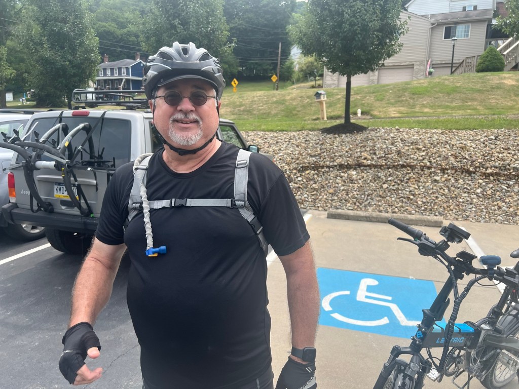
I came upon Chet, a born and bred local that rides the trail every other day. He was on an electric foldy (a bike that folds up for easy transportation and storage) and we rode together and talked for about 30 minutes. He lives right off the trail and it is amazing how the miles fly by when you are having a conversation. His battery on his foldy dying, he gave me some tips on what I should expect in the next few miles and we sadly parted ways.
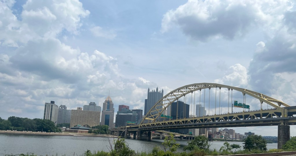
After 25 miles, I had to say goodbye to the Panhandle Trail and start the last leg into Pittsburgh. Anyone that has been to Pittsburgh knows that it is surrounded by hills. Cars can take a tunnel through the hills to get there, unfortunately bikes can’t.
To get to Pittsburgh, I had to get past a two mile climb with an average gradient of five percent. I was definitely in an urban setting, riding on a road with no shoulder filled with drivers with little patience. It was a white knuckle experience.
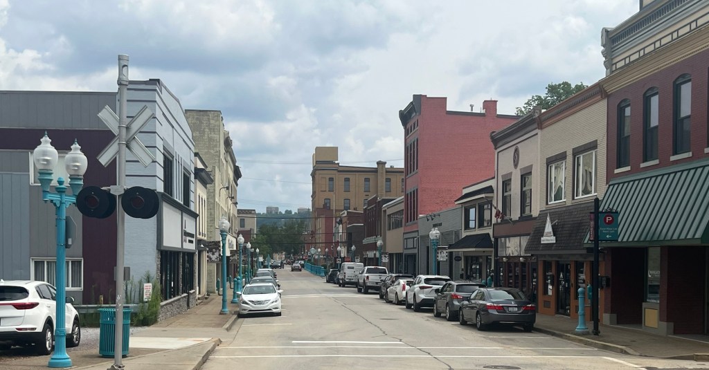
I climbed up to the town of Carnegie, which looks like it is on the upswing. The Main Street consists of turn of the century red brick storefronts filled with coffee shops, restaurants and trendy stores-all the earmarks of gentrification.
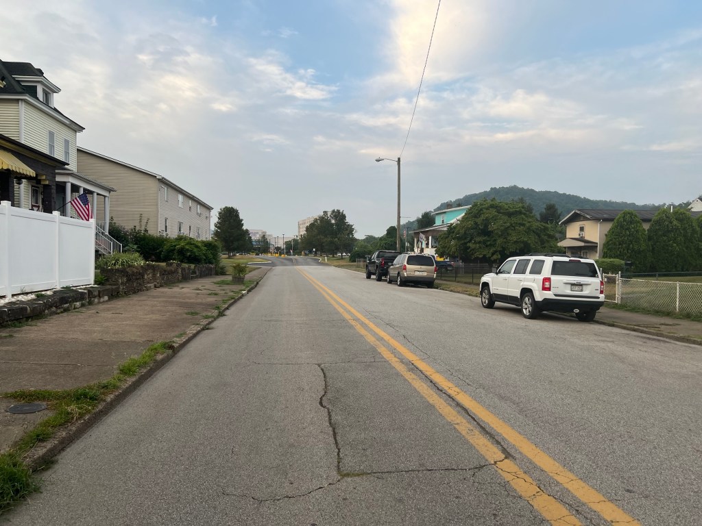
I then traveled through some skitchy city neighborhoods until I found my way to a riverside path. The path led me through an up and coming touristy area but then unfortunately led me out of the touristy area. I got to my brand new hotel but it sits in a very dangerous looking neighborhood. This might be the first time I have been nervous about the area I am in. It appears that the hotel sits just outside the edge of an up and coming neighborhood, it just hasn’t reached the hotel yet. Evidence of strung out people on the street is sad, they look so lost. I am ordering Uber Eats.
I was planning to stay in Pittsburgh for a couple of nights since it is supposed to rain tomorrow. If the same hotel was in a different neighborhood I might do so, but I am like a horse that can smell the barn and I want to keep going.
I had planned on taking an Adventure Cycling route to York, Pennsylvania and then go south to Washington DC for a total of 450 miles. The route would consist of about 150 miles of bike path. Paul Kirsch’s partner and friend, Mark Jansen, suggested to Paul that instead of that ludicrous route, why don’t I take the Greater Allegheny Path (GAP) and the C&O Canal path which goes from Pittsburgh to Washington DC and is only 330 miles. The best part is that is all on bike paths. The route ends in Georgetown. Thank you so much Mark, for although I haven’t met you yet, your comment to Paul saved me a couple days of riding.
I have made an aggressive schedule and plan to cover 95% of the trail in four days (horse-barn again). Tomorrow might be rainy, but since I will be on a dedicated path I shouldn’t have to worry about cars. Hopefully those are not famous last words.


Leave a comment