Today’s Date: June 12, 2024
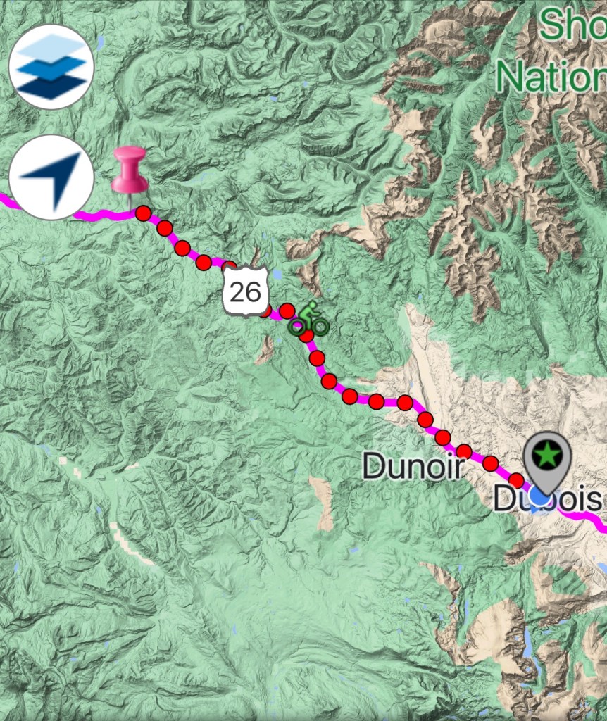
Today’s Start Point: Togwotee Mountain Lodge
Today’s End Point: Dubois, Wyoming
Today’s Mileage: 37.40 Miles
Cumulative Miles: 1,491.06 Miles
When planning out the logistics for this trip, some areas are more challenging than others due to lack of any type of civilization along the route. One future section will be eastern Colorado and Kansas, but I am currently entering the difficult Wyoming section.
The whole State of Wyoming’s population is approximately 575,000 people. As you can imagine, that leaves large gaps with nothing there. Sometimes, I had to make a choice between traveling 40 miles or 100 miles because there is nothing in between.
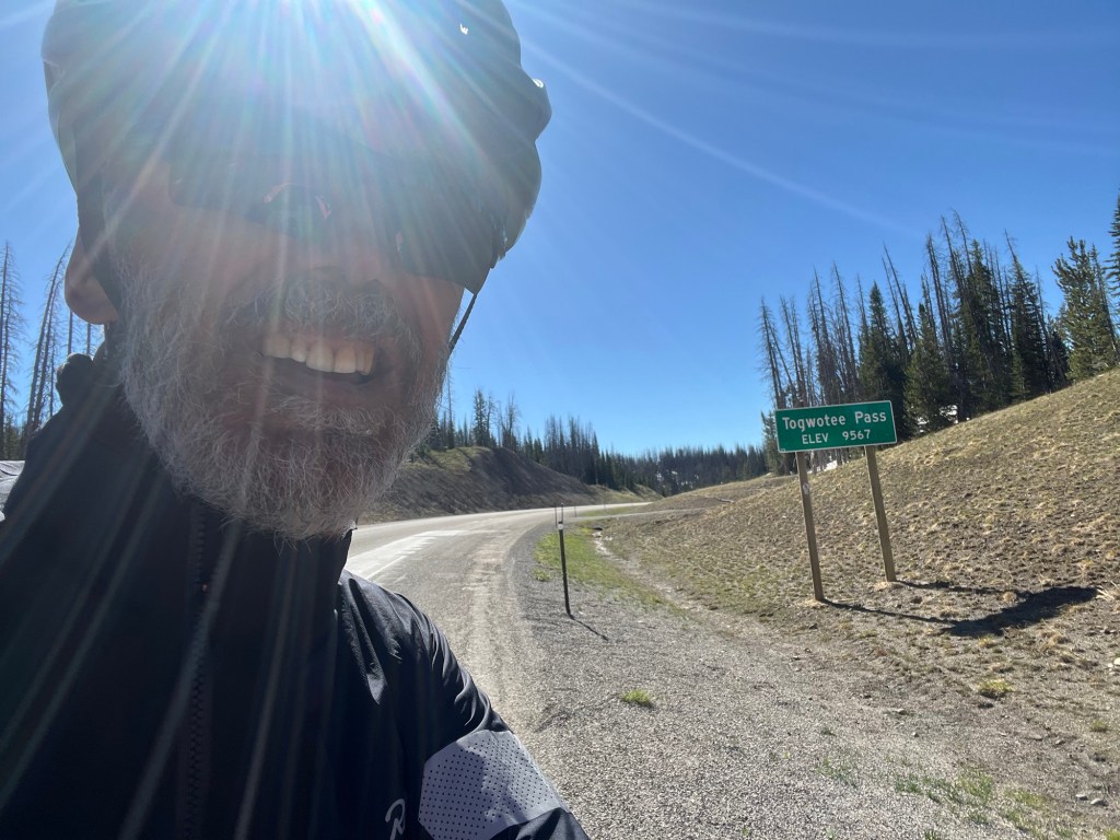
I decided today would be about 40 miles which would begin with the finish of the climb up to the top of Togwotee Pass. After that six mile climb, the rest of the day would be a leisurely descent to Dubois, Wyoming.
Since I knew the day would be short, I slept in and got away at about 8:00 am. I was already at about 8,500 feet of elevation at the start, and needed to finish the climb to get to the 9,500 feet pass summit.
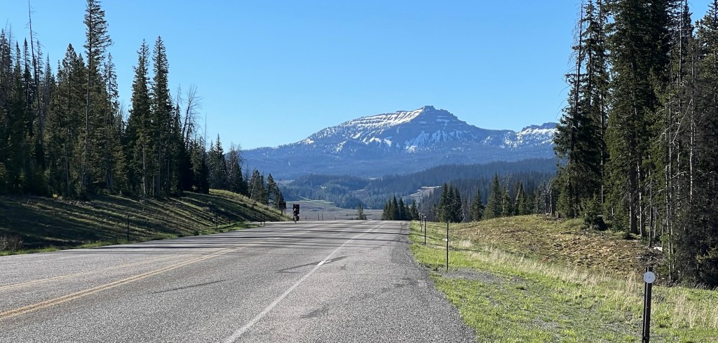
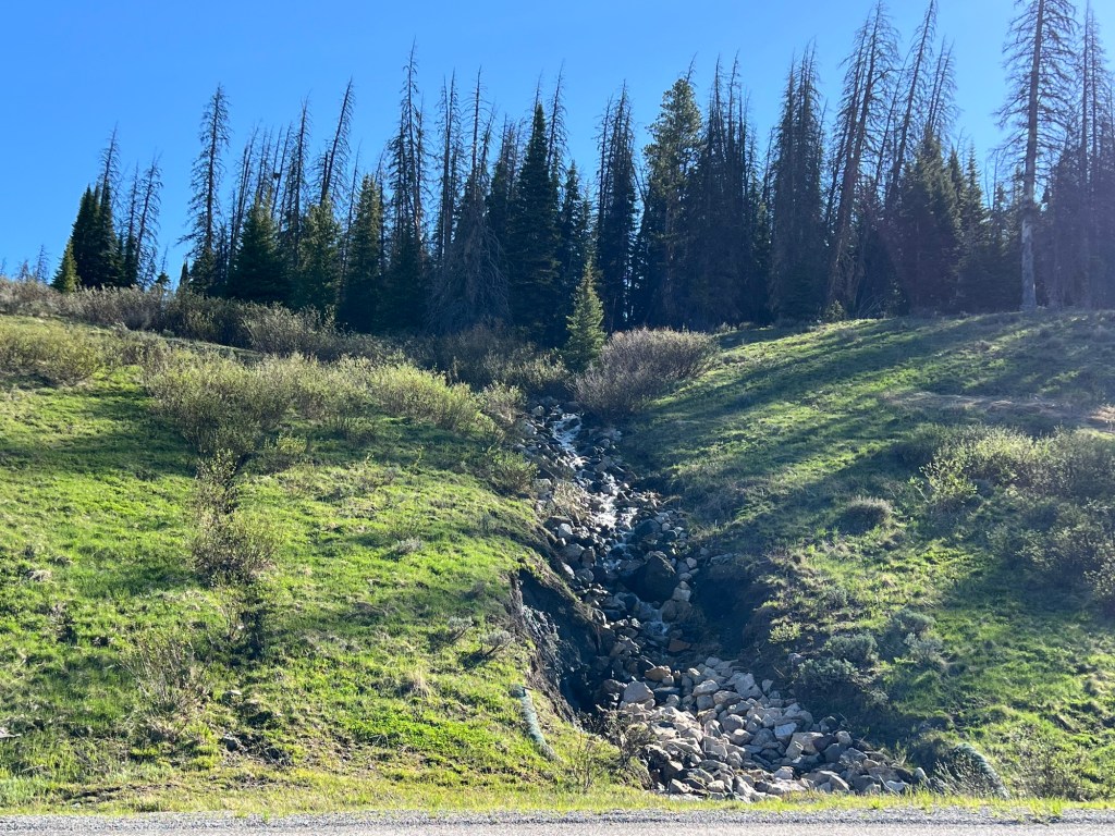
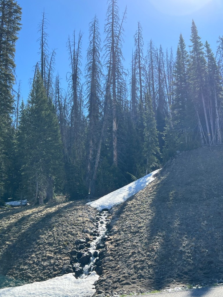
The temperature was in the 40s, which was fine by me since it began with a climb. On this climb, as opposed to looking up at the peaks, I was up and among the peaks. The roadside had some residual snow from the winter, but the heat I generated by climbing meant I did not feel cold. I also had a slight tailwind on this side of the Pass.
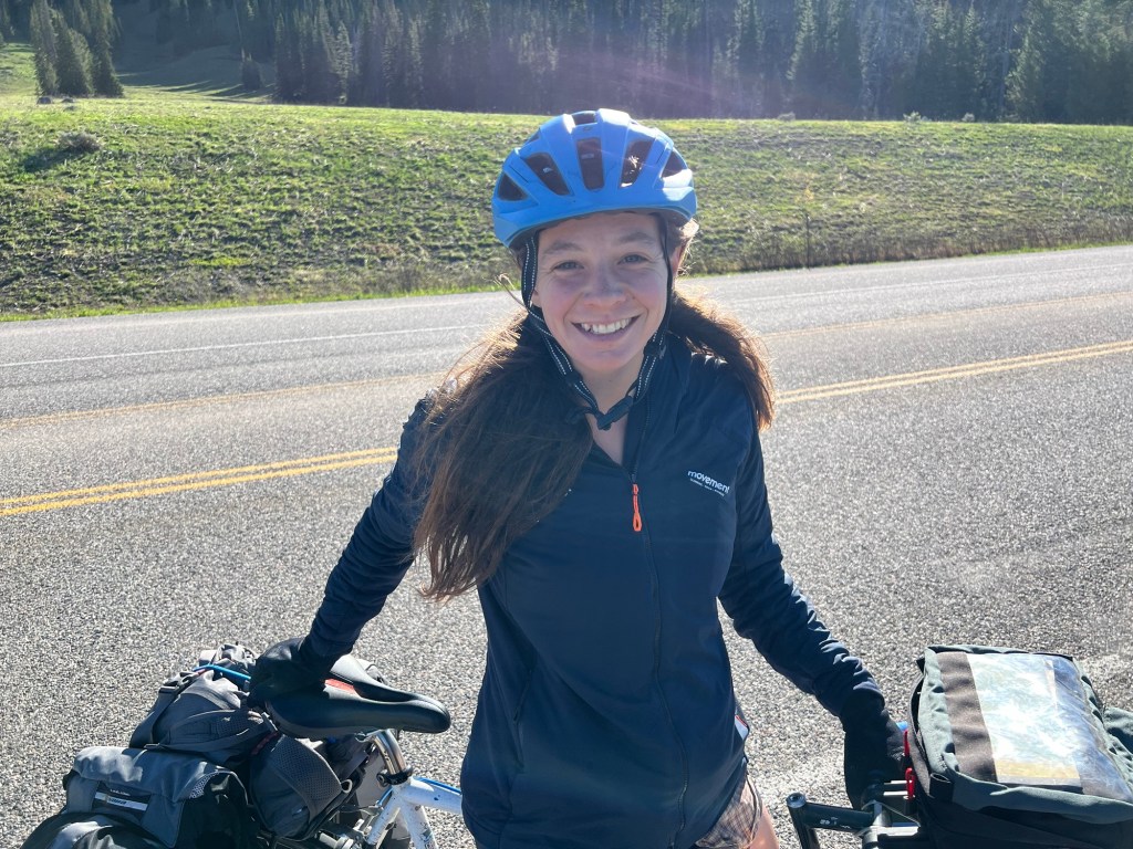
On my way up the climb, I met another bike traveler going the other way. Her name was Mary Catherine (MC for short) and she was traveling solo from Boulder, Colorado to Seattle, Washington. She had been camping all the way (obviously much tougher than me) but had been begging RV owners for the opportunity to sleep inside due to her fear of bears. All of the signage in the area contributes to this fear and my infrequent calls of “hey bear” attest to that fact. We agreed that she had a much better chance of securing an RV invitation as a nonthreatening young woman than an old man with a scraggly beard. We wished each other luck and went our separate ways.
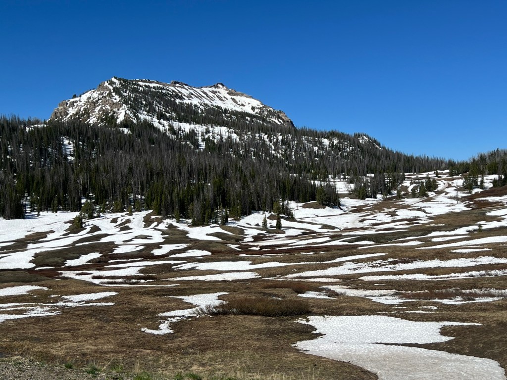
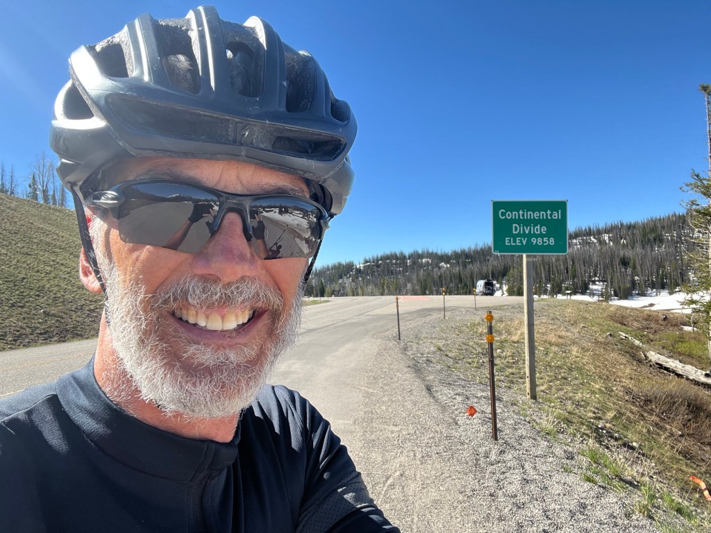
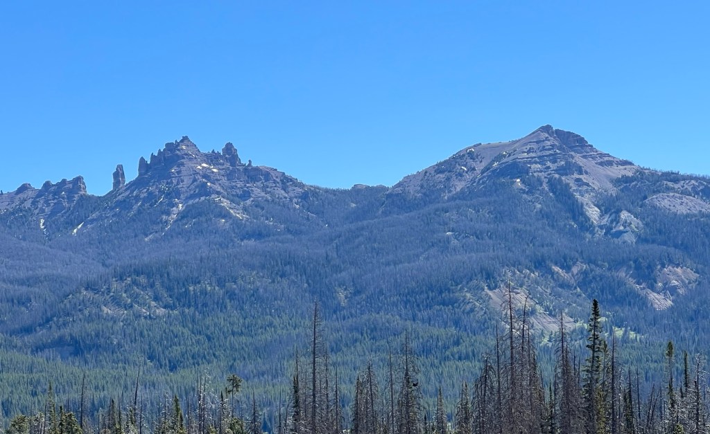
I continued the climb up and when I rose to an elevation of 9,850 feet I saw a sign stating that I was crossing the Continental Divide. The Divide is actually 300 feet higher than the top of Togwotee Pass. The top of the Pass was only a couple of miles more, after which I began the long descent.
When you get to these kind of elevations, it’s pretty special. When they say rarified air, they are not kidding, it’s a little hard to breathe but the effect of the nearby peaks at almost eye level is stunning.
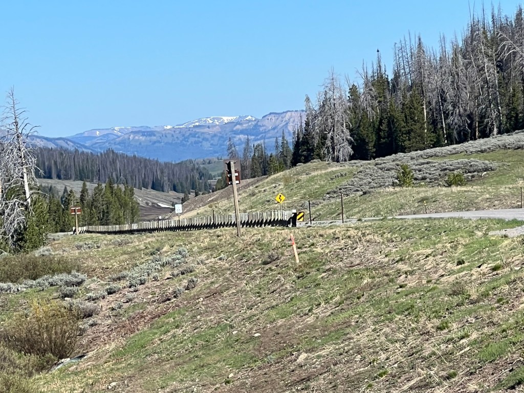
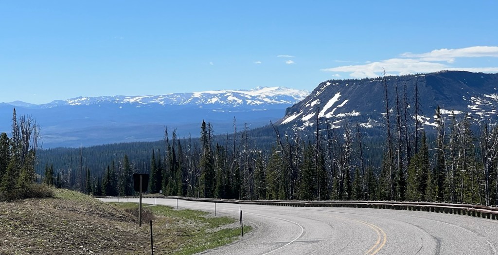
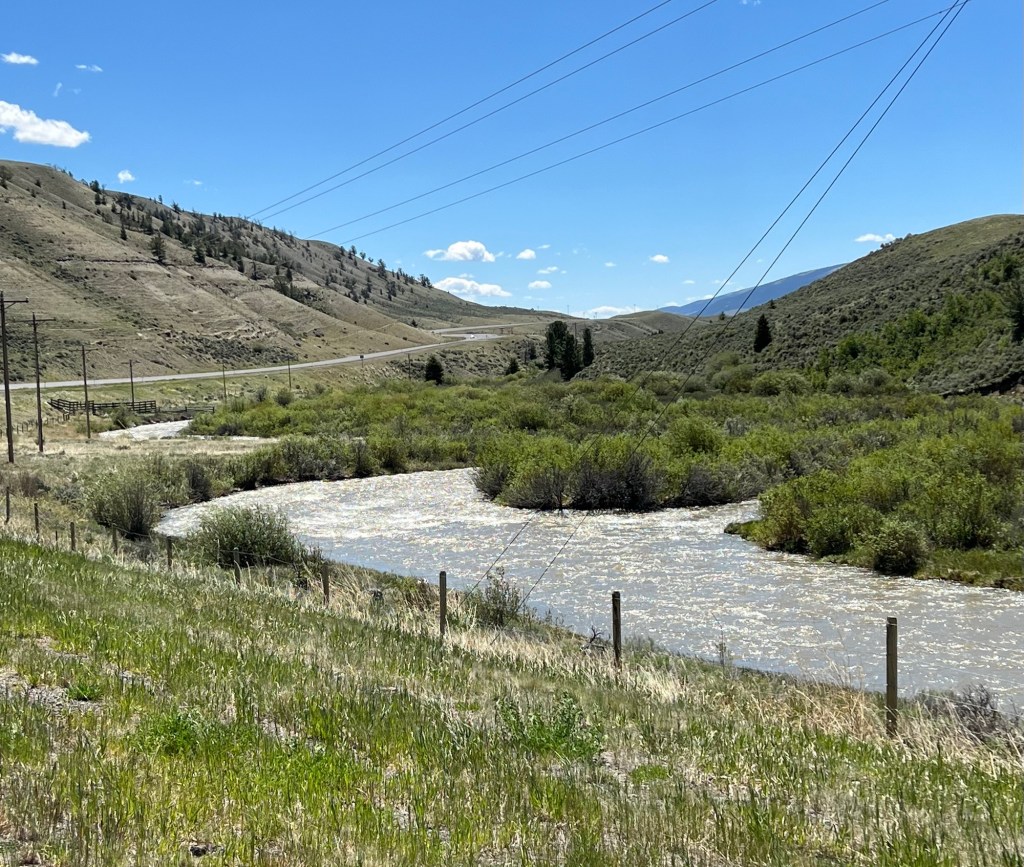
The descent was steep at the beginning and the slight tailwind on the western slope of the pass turned into a 30 mph tailwind. What I thought would be a few hour descent to the 30ish mile ride to Dubois turned out to be a little over one hour ride.
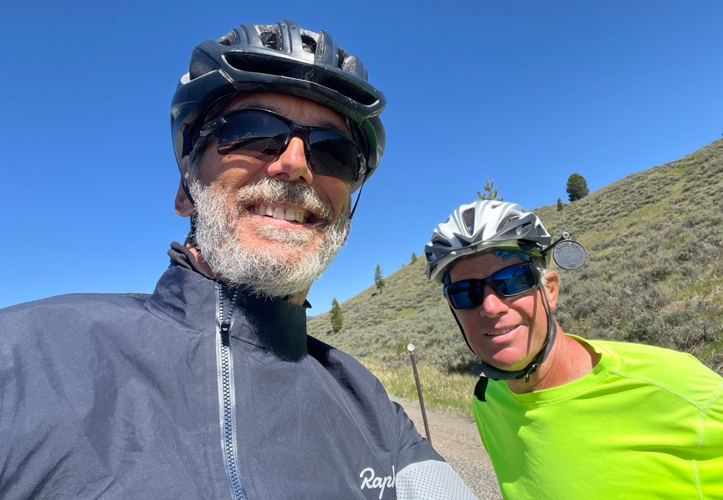
During the descent, I came across another bike traveler, Ken, who was also going in the opposite direction. Ken retired from the New York Times in April and was doing approximately the reverse of my route. We talked by the side of the road for a good bit of time, Ken telling me some of his tales from the road and some good advice on places to stay. I told him of my fear of the Kentucky dogs, and unfortunately he told me he has been chased by 42 dogs so far. He did, however, gave me some helpful hints on dealing with them. We exchanged phone numbers and hopefully we will keep up the dialogue along our respective ways. I left Ken to deal with the 30 mph headwind while I went the other way with the tailwind.
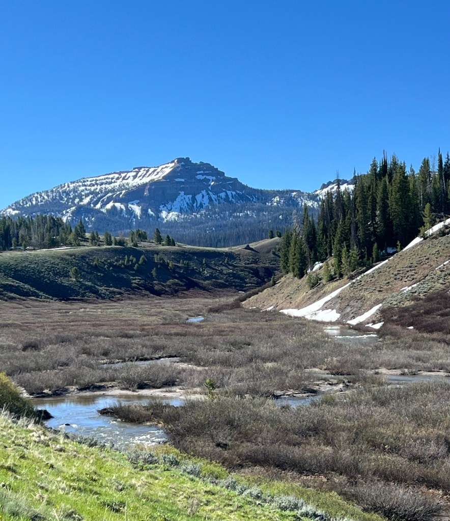
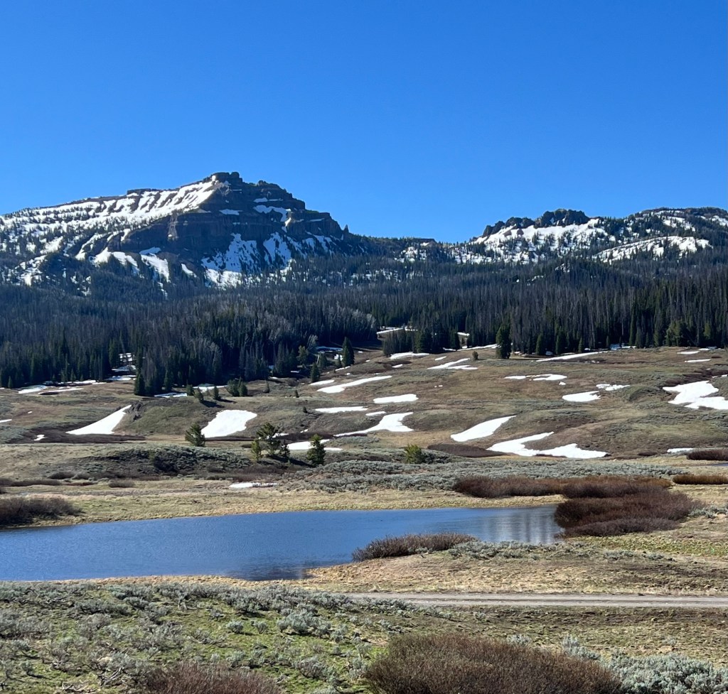
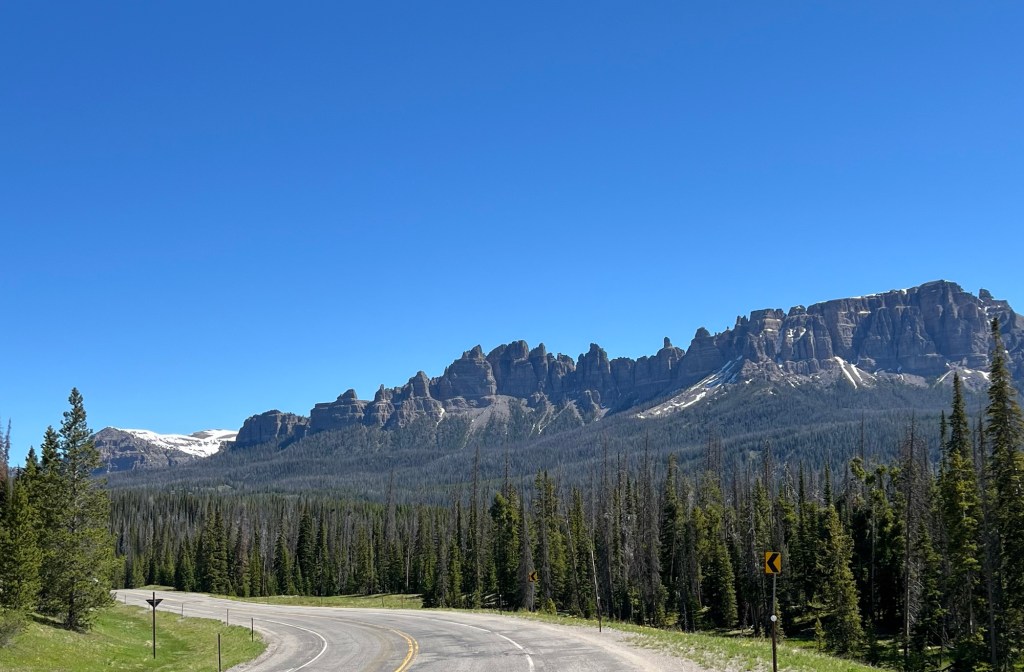
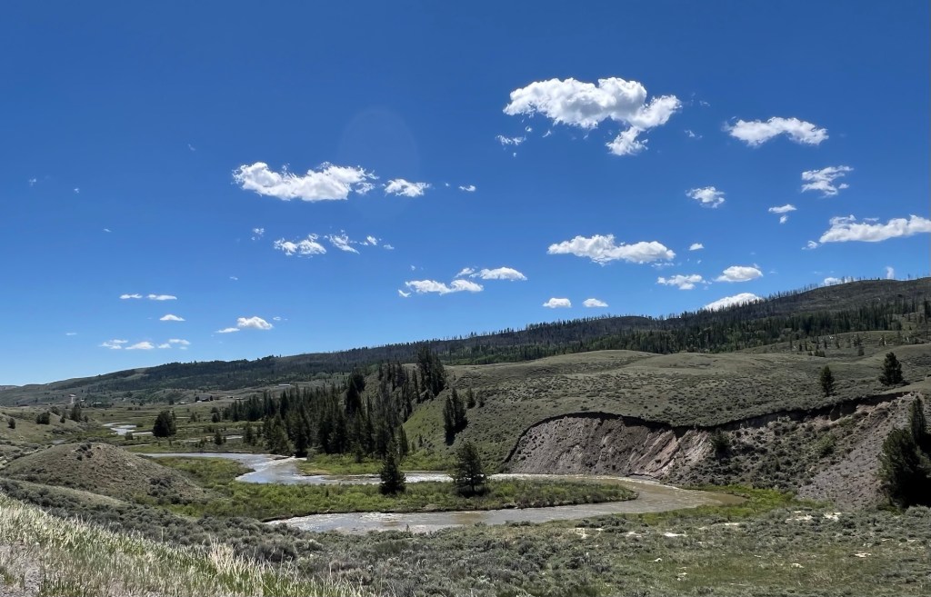
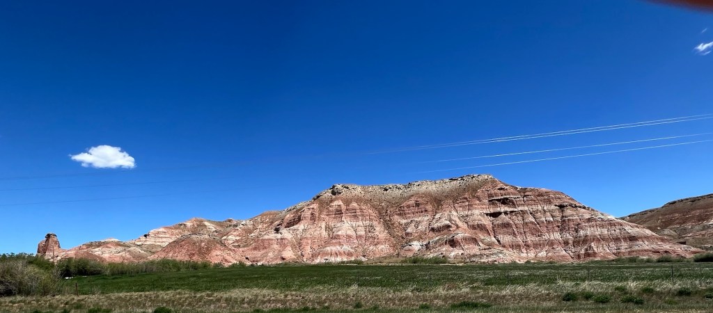
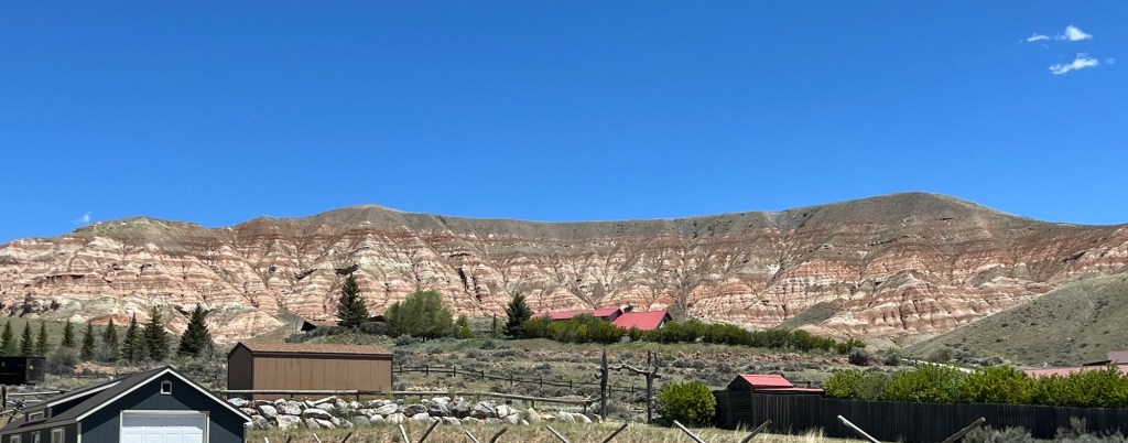
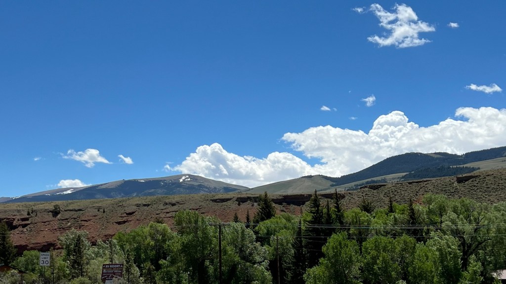
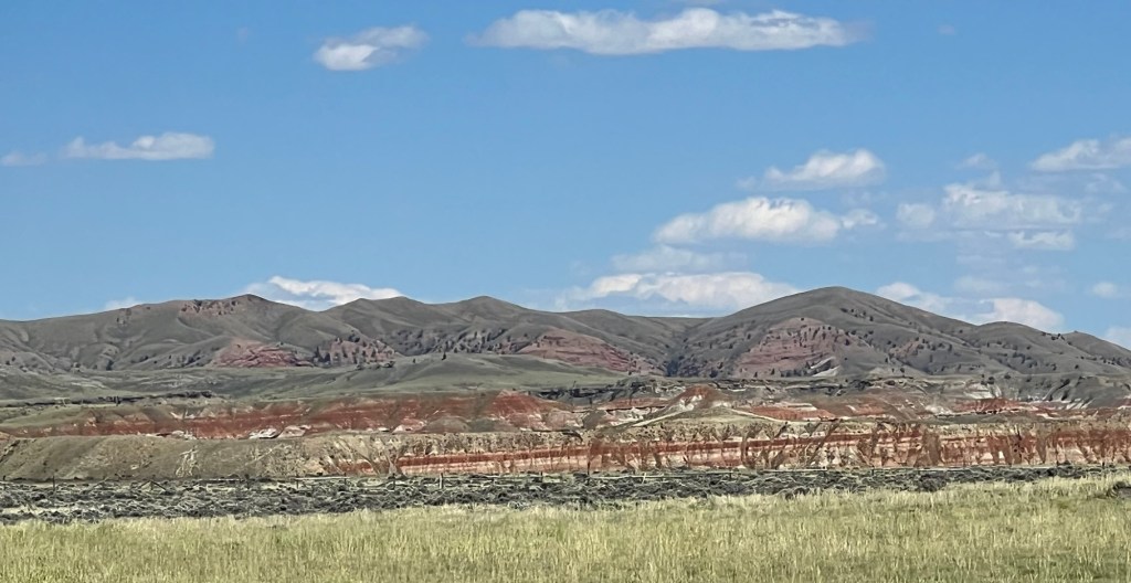
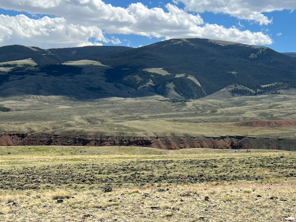
Duboise is in the Wind River Basin, which as you might surmise has the Wind River running through it. The river has cut through the rocks to create the Chugwater Formation, which appears like different hues of reddish rock (primarily sandstone) in layers like a Rainbow Cone (that’s for Leslie). The Basin is magnificent, with rolling green hills, the Chugwater Formation and the white capped peaks of the Absaroka Range behind.
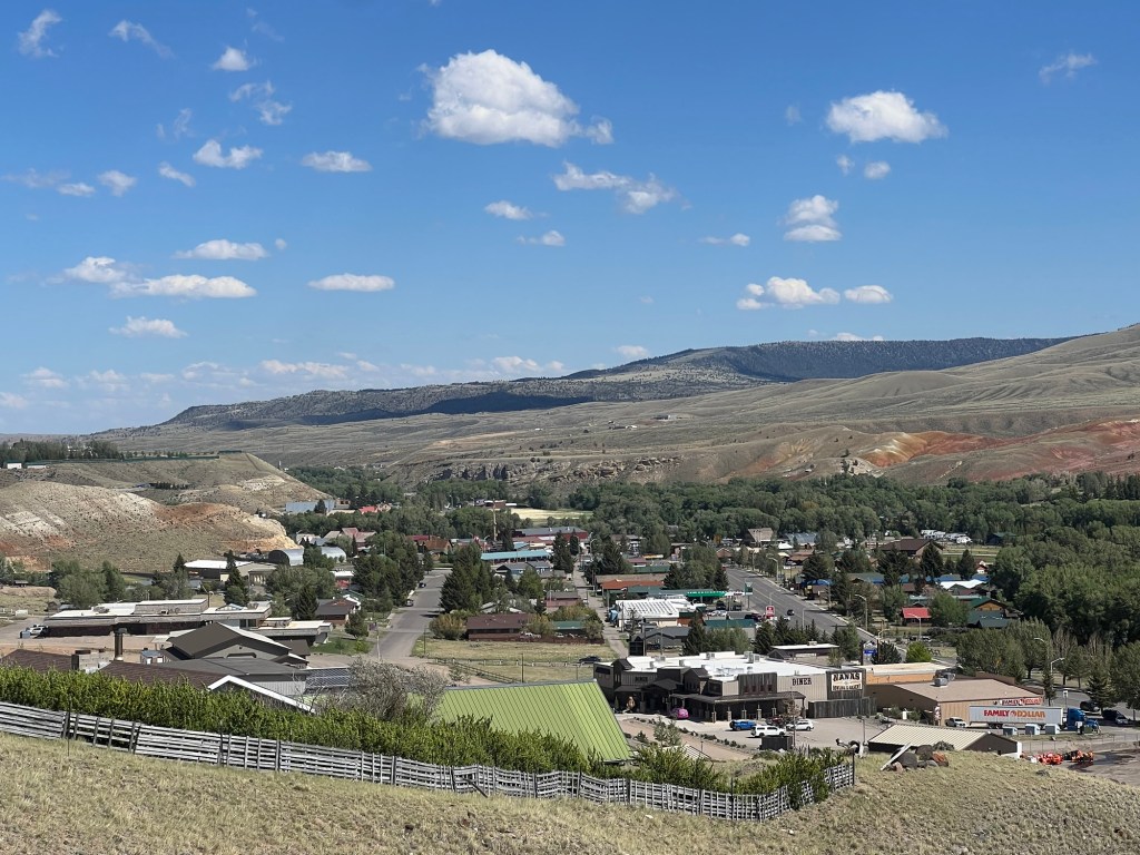
I kept descending and got to my hotel at noon, the ride was so fast. I checked into the hotel and walked a little over a mile to get into town (why not ride a bike? Coming back would be a wicked headwind). Interestingly and unfortunately, most of the restaurants are closed on Wednesday, but I did find a hamburger stand which was great.
On my way back to the hotel, I noticed a sign by the road indicating that there was a municipal scenic overlook to my right. The road to the overlook went steeply up but I figured it would be right at the top of a short hill. As so many times, I was wrong. The road to the scenic overlook went up about 500 feet in elevation, and by twisting and turning conning me into think if I just go over this next hill, I will be at the top.
I fell for the con, and kept going. I was using different muscles than when I bike, but I am glad I made the effort. The views were awesome. Every part of civilization fell away giving you tremendous views of the Chugwater Formation and the distant Absaroka Mountain Range.
If the wind was strong at street level, it was ridiculously strong from the Scenic Viewpoint. I stayed up there for a little while, making 360 degree turns to take it all in, then eventually made my way back to the hotel.
I was pretty tired at this point, so I bought a couple of deli sandwiches and kicked back and wrote my blog.


Leave a comment