Today’s Date: June 8, 2024
Today’s Start Point: West Yellowstone, Montana
Today’s End Point: Ashton, Idaho
Today’s Miles: 64.63 Miles
Cumulative Miles: 1,236.98 Miles
I have to admit I woke up in a bit of a bad mood, which is a first on this trip. The mechanical issues and other things didn’t sit well with me yesterday, so I set about trying to do something about it.
In order to minimize the risk of more broken spikes on the rear wheel, I needed to lower the weight of the rear panniers. First, I started throwing some things out which I haven’t used (which of course will probably be invaluable at some point in the next few days) and shifted certain items I don’t use often but still need to the bags on my front forks. As time goes on, I will jettison other gear, but probably wait until I can hand them off to Leslie or ship home.
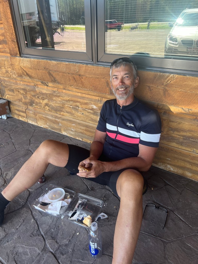
After these adjustments, I was ready to go. First, however, I had to stop at the convenience store for some packaged cheese danishes, which has become a habit. If anything happens to me on the road, don’t worry, I have a ton of preservatives in me.
While eating outside the convenience store, I ran into another member of the Fuller cycling group from yesterday. He was from Chicago and since the group had a rest day, he was going to explore West Yellowstone. He said the rest of the group had gone into Yellowstone Park.
When planning the trip, I had two options. One was to go due south into Yellowstone Park. The second option was to go west from West Yellowstone into Idaho and then turn south and travel down to Jackson, Wyoming.
The second option involved about 100 extra miles but less traffic. The guidebook states that riding through Yellowstone Park involves “narrow roads and heavy traffic with lots of RVs during the summer”. I had decided before the trip began to take the second option. After seeing the traffic in West Yellowstone and the crazy driving, I knew I had made the right choice.
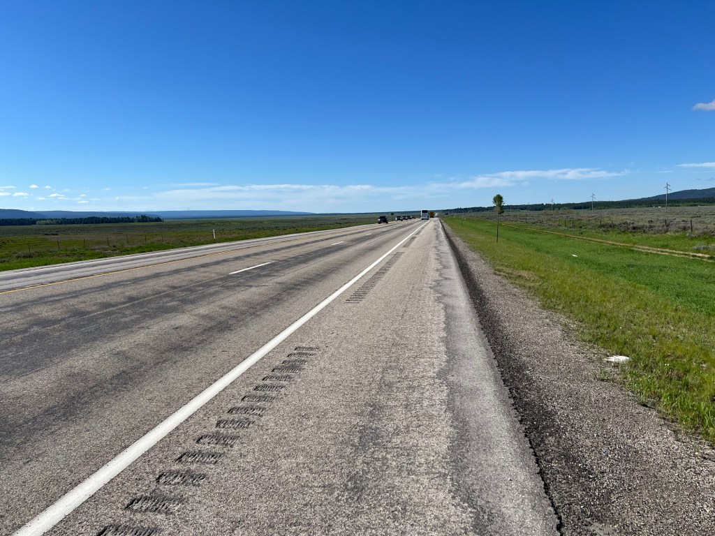
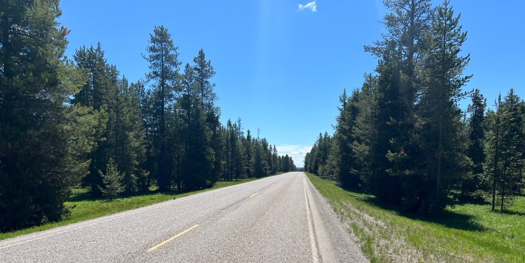
I started out going west on the alternate route. For the first 10 miles there was a shoulder, but unfortunately there was a rumble strip right in the middle, making the shoulder practically useless. Traffic was heavy and fast, and the guidebook’s warning about RVs was accurate. Most of the RVs are rentals with inexperienced drivers behind the wheel. Some are as large as a rock band’s tour bus. All in all not a pleasant experience when they rocket past.
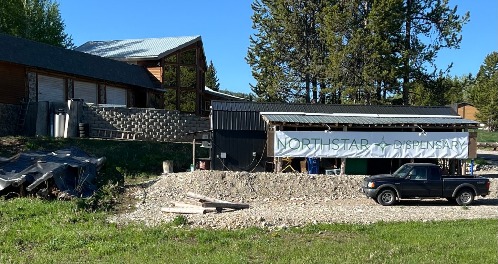
Eventually, I started climbing and when I got to the top I said goodbye to Montana and was greeted by my old friend Idaho. The tradition for Idaho state signs (maybe others states as well but I have seen it most on Idaho state signs) is for individuals to put stickers on them. I tried to find out if there was some meaning to this, but alas my research came up short.
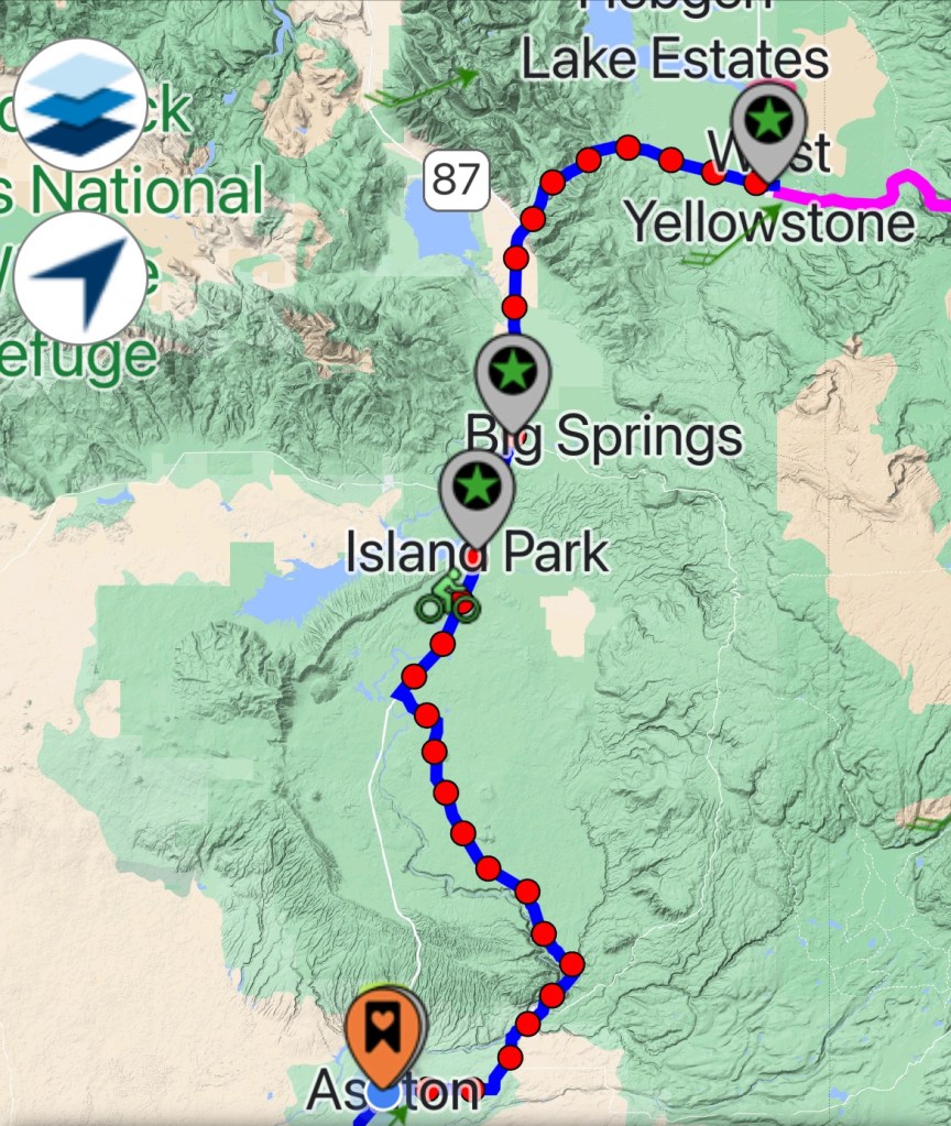
After about 10 miles the road turned south into a mild headwind. The land was flat and relatively plain compared to my recent experiences. Traffic was very heavy but there was a better shoulder. For the next 15 miles I just turned the pedals.
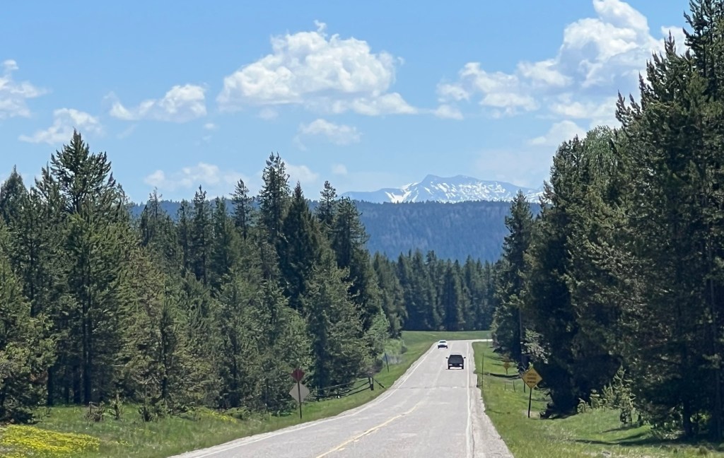
Once I approached the town of Island Park, Idaho, the scenery began to improve with the mountains once again coming into view. There was a convenience store so I stopped for lunch.
While eating my lunch, there were a group of guys on motorcycles that looked like the stereotypical motorcycle gang in the movies. The only difference was that one of the guys had a Miniature Schnauzer in a little black leather jacket. I mentioned to the rider that I liked the look, and he said the Schnauzer goes everywhere with him and the dog really enjoys the ride. So much for stereotypes.
Traffic was still heavy so I was glad when my route took me off the main highway onto the Mesa Falls Scenic Byway. Traffic dropped off precipitously, with no commercial traffic whatsoever.
The roadway weaved in and out of the trees and I was for the most part alone. So alone, as a matter of fact, I started worrying about bears. My throat was raw from saying “hi bear”, so today I played music on my cellphone to announce my arrival. Luckily, I think the animals like my song selection.
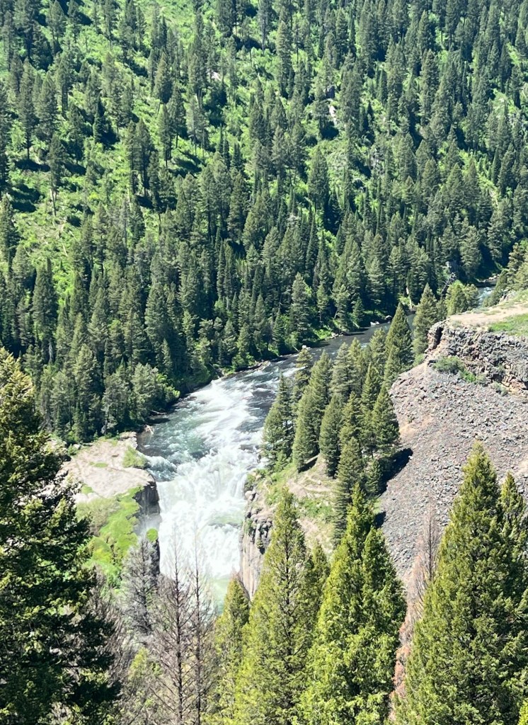
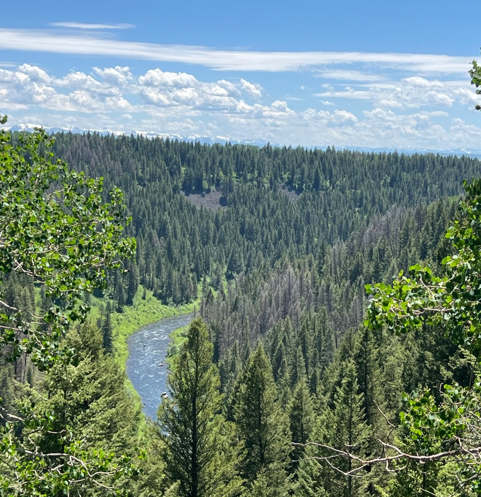
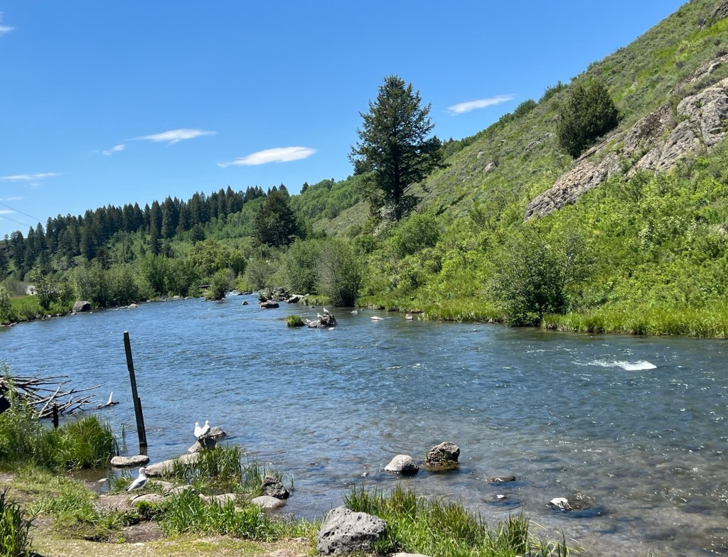
On the Byway was a sign pointing to a scenic overlook of the Lower Mesa Falls. I almost bypassed it but I am glad I did not. The Henry’s Fork River has cut a deep chasm in the valley and has created a large waterfall. There is an Upper Mesa Falls but unfortunately I must have missed it. The Lower Mesa Falls are spectacular and I highly recommend searching them out if you come out this way.
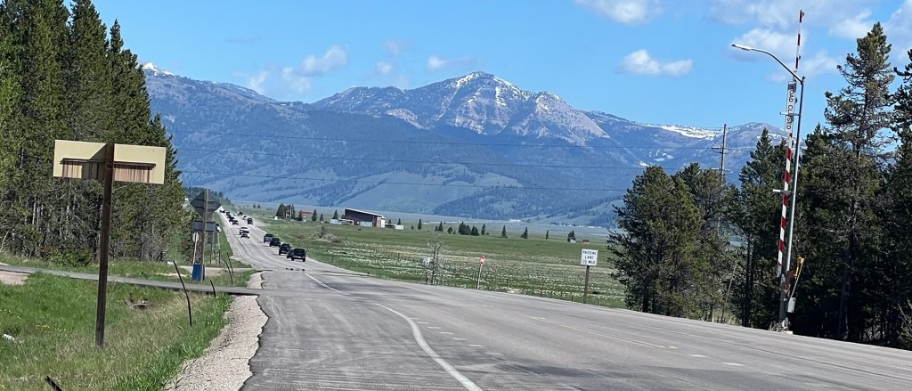
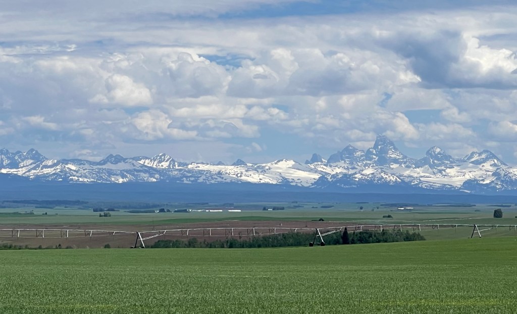
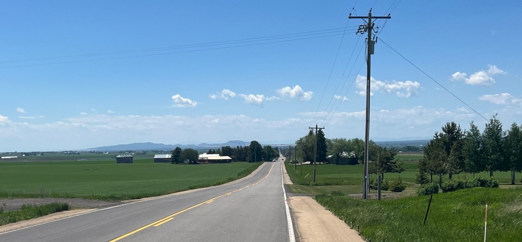
After the Falls, there were a couple of short but steep climbs that took me to a high plateau. I have been accustomed to seeing cattle ranches so I was surprised to see large farms. It appears that barley and wheat are the two main crops, and the fields seem to stretch forever with the mountains in the background.
I dropped down from the plateau and came to my destination of Ashford, Idaho. Ashford looks to me like a typical farming town, not too different than rural towns in the Midwest.
When I got to the hotel, I just wanted to get settled in, maybe take a nap, and bring some food into the hotel. Most importantly, I had a chance to FaceTime with my daughter Jenna, my son-in-law Brandon, and my incomparable and perfect grandson Sam. The day definitely ended better than it started.


Leave a comment