Today’s Date: May 26, 2024
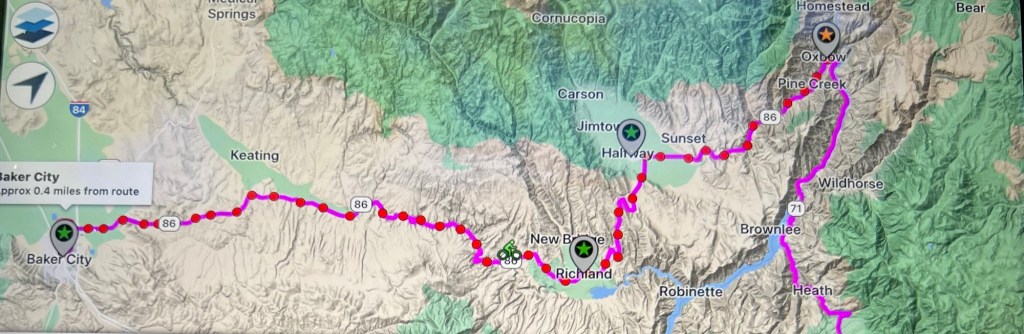
Today’s Start Point: Baker City, Oregon
Today’s End Point: Oxbow, Oregon
Today’s Mileage: 70.32 Miles
Cumulative Miles: 670.86
Sorry for the delay of this post, but I couldn’t get a connection in Oxbow.
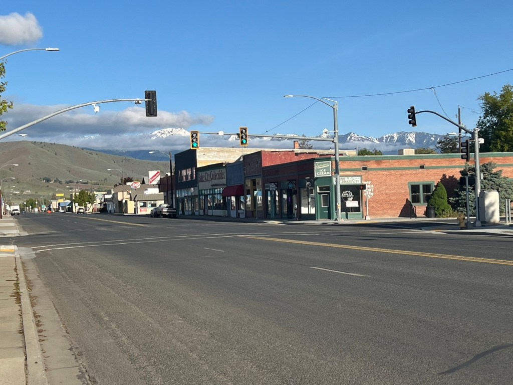
I can sum up the day of rest in three words-rest, ice and DQ. I wish I could have explored more of Baker City because it appears to have had a rich history and is trying to restore some of that luster with micro-distilleries, brew pubs and niche shopping.
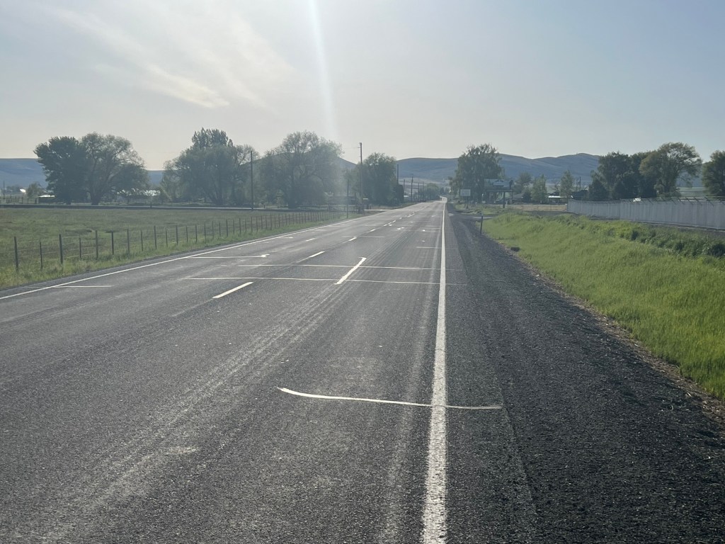
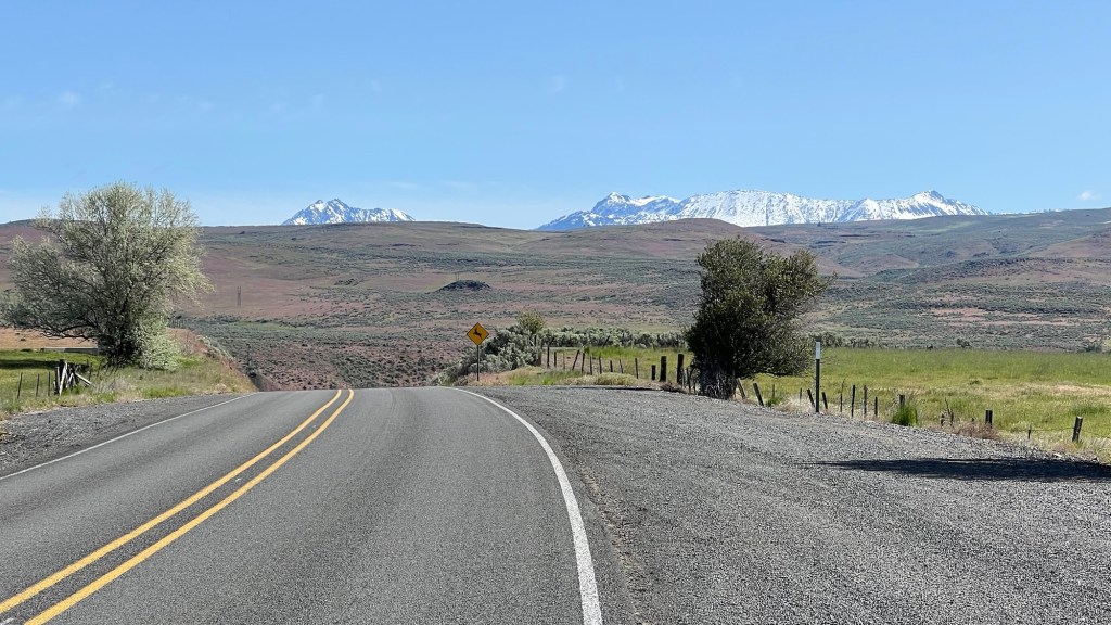
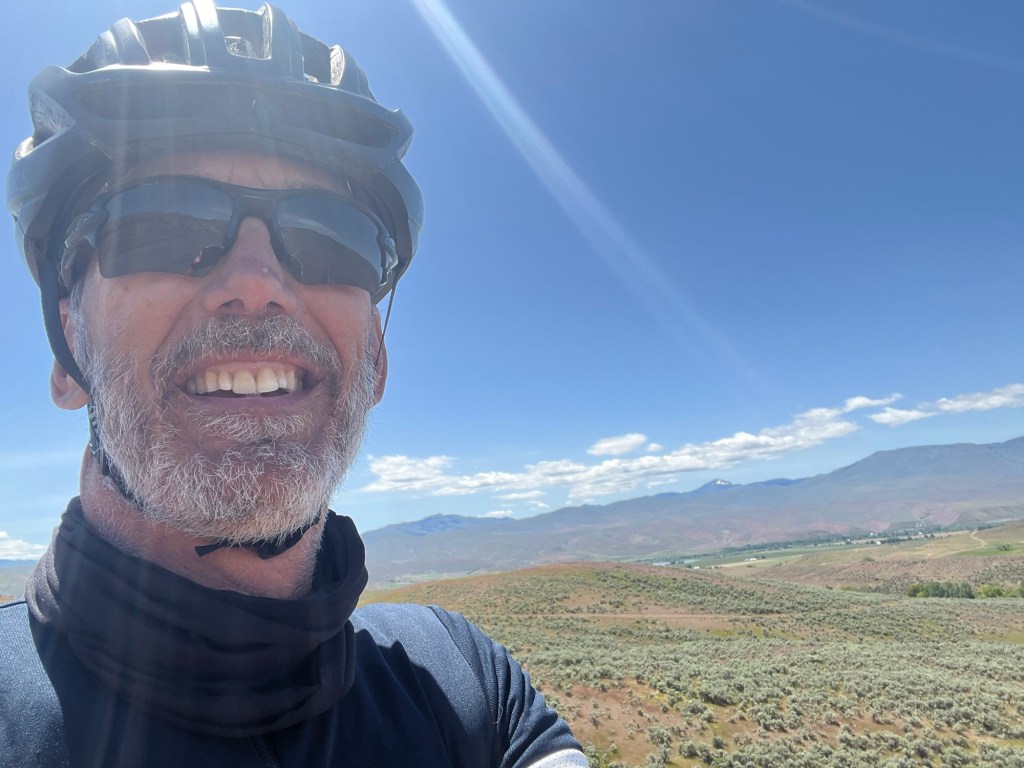
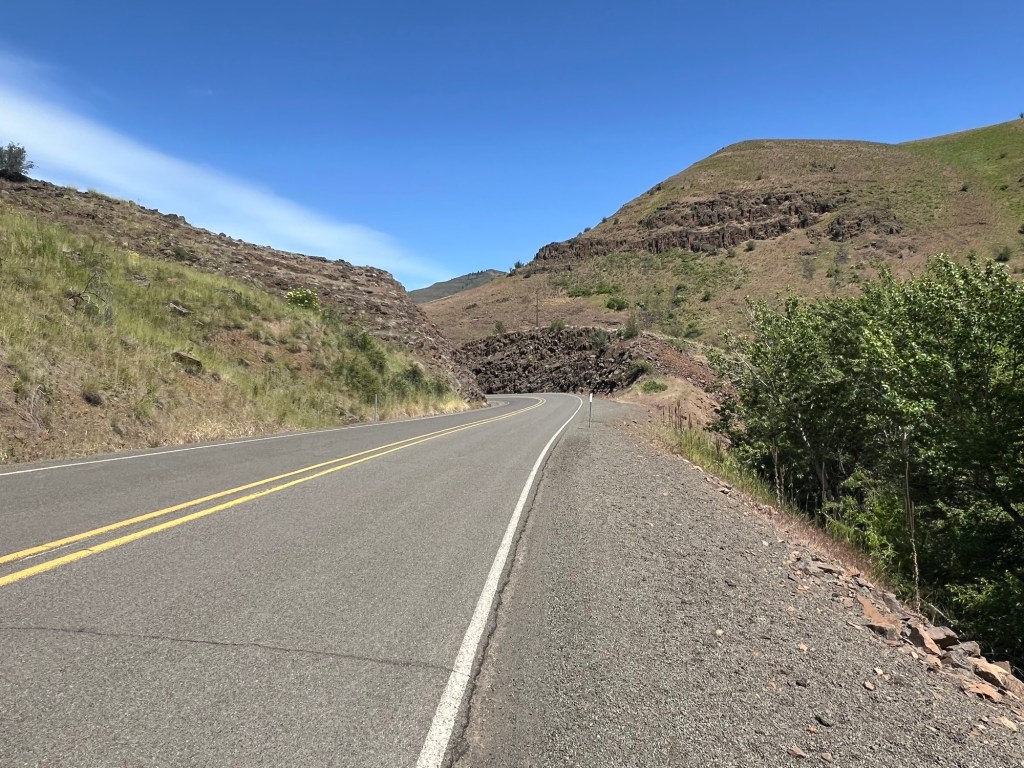
After my rest day, I woke up early so that I could ride slowly in order to protect the shin. Still hurts a little bit, but the show must go on. The weather was outstanding, not a cloud in the sky. From Baker City I was going to go due east up a two mile climb and then a 30+ mile descent to Richland, Oregon. At Richland, there would be a six mile climb going north and then a 24ish mile downhill to Oxbow, Oregon.
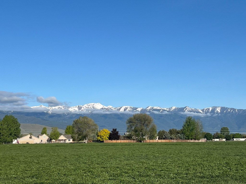
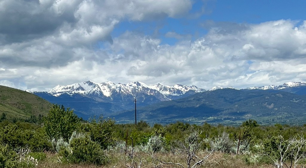
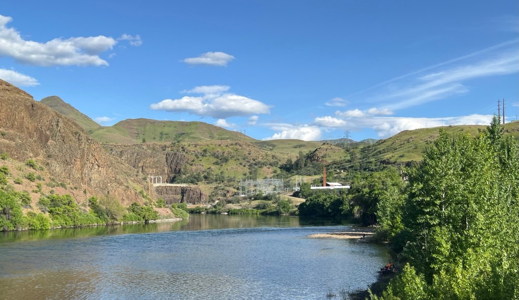
The left shin felt fine on the shortish of the two climbs. There were mountain view’s on each side of the road. It was ridiculously pretty. There were so many beautiful images throughout the day that I started laughing when a new one came into view.
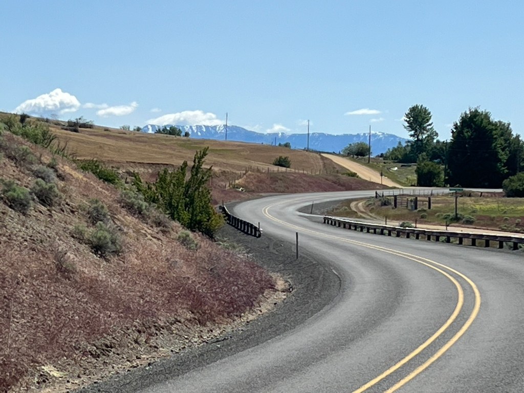
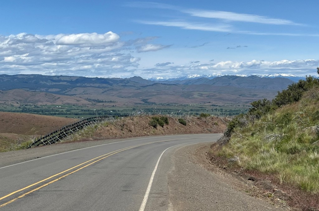
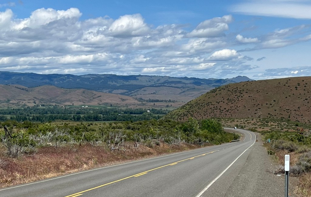
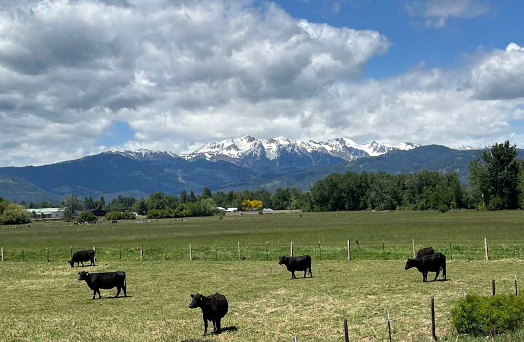
After the climb I plunged (ok, white knuckled) my way down an approximately 30 mile descent. Throughout the descent, large herds of cattle again passed by. The cows against the mountains always reminds me of a Hollywood movie.
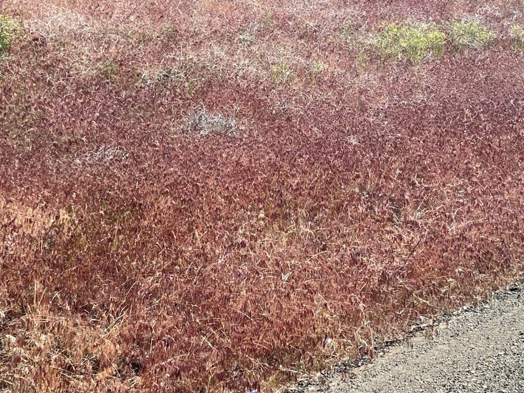
I noticed that the hills had a red or rust colored hue. It appears to come from the Yarrow plant, which can either be yellow or red. It appeared to be everywhere. Finally, Google did not let me down.
Once in Ridgeland I stopped at a grocery/liquor store and loaded up on non-alcoholic supplies. I ate my lunch on a street bench and headed to the second and more substantial climb.
The climb after Ridgeland went due north and was about six miles long. I babied myself and my shin on the climb, taking breaks every once in a while so the shin would not start to hurt. You will notice that there are not many pictures, I mean something had to give.
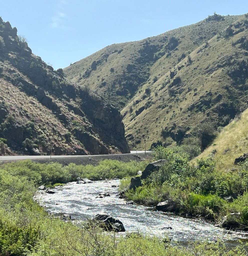
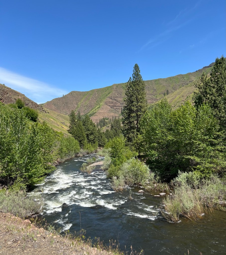
The view on the descent was either mountain views or ravine views. This went on for nearly 25 miles.
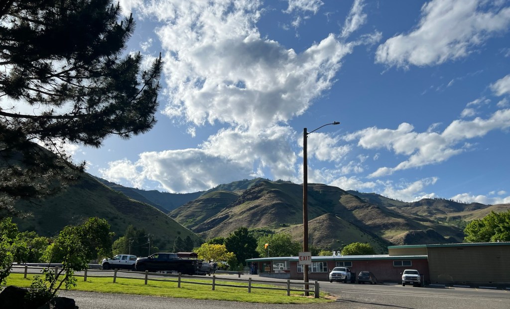
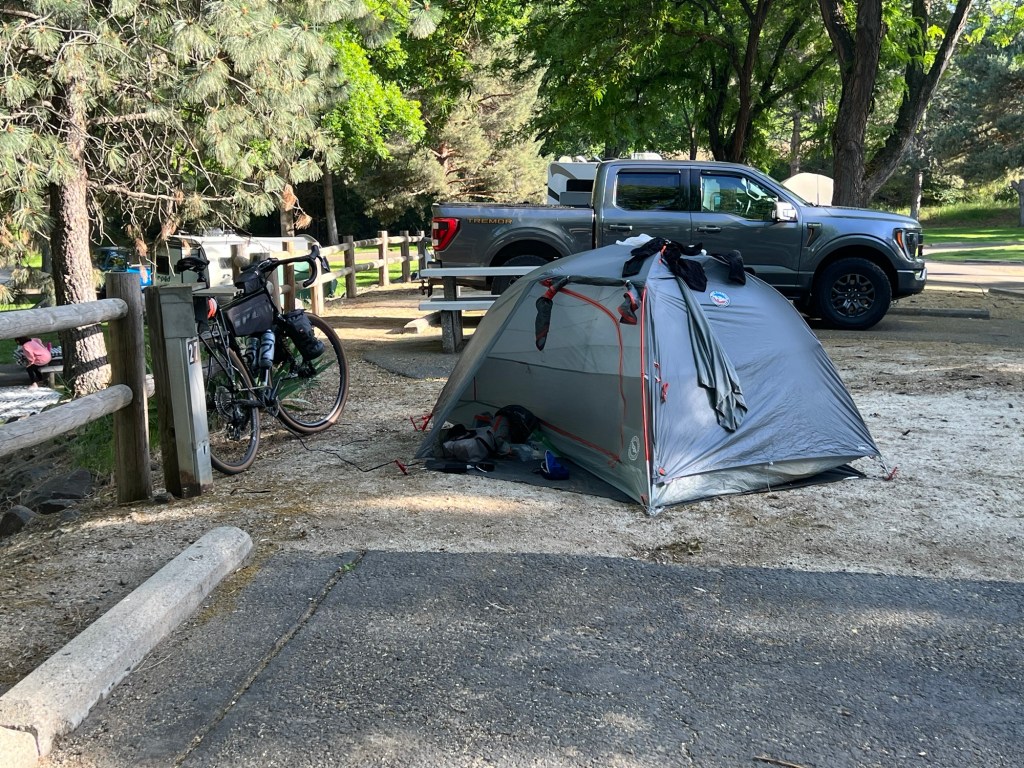
At the bottom of the descent was Oxbow, Oregon and my campsite. North of Oxbow is Hell’s Canyon, which appears to be a fisherman and water sports haven.
I went to find my campsite when I was approached by two of the campers and the campsite host. Of course I thought I had done something wrong or broken camp etiquette (since I have zero knowledge about these things).
It turns out a mistake had been made and the space had been double booked. The camp host asked if I would not mind changing sites since the other party had arrived yesterday and had a large group. Whew, I thought I did something wrong. I really didn’t care, I could have slept under an RV, I was tired. The family was appreciative and asked if I would like to have tacos with them later. I joined them later and it was nice to not eat alone for a change. I even got to try elk for the first time (and I liked it). Kind people, thank you for your generosity, it was appreciated by this weary traveler.
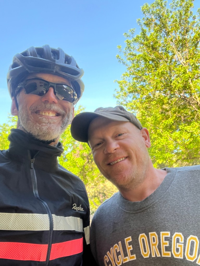
While in camp, another gentlemen introduced himself and informed me that he had done the exact same route I am taking two years ago. His name was Stan and he and his wife had been in the military for 20 years, he flying helicopters and she in logistics. He told me many tales from his trip and gave me some great advice. He is riding the Atlantic Coast route from Key West to Maine this summer, stopping in Camp Lejuene. I will be doing part of the Atlantic Coast route (Richmond to Camp Lejuene) but unfortunately our paths will not cross.
All in all, a fun day. I had to remember how to carry on a conversation (realizing that many of you already thought that was a problem of mine).


Leave a comment